Sutherland Sky: Part VII – Scenes from the Cape Fold Belt

Cape Fold Belt #1.
Cape Fold Belt #1. Approaching the belt from Cape Town.

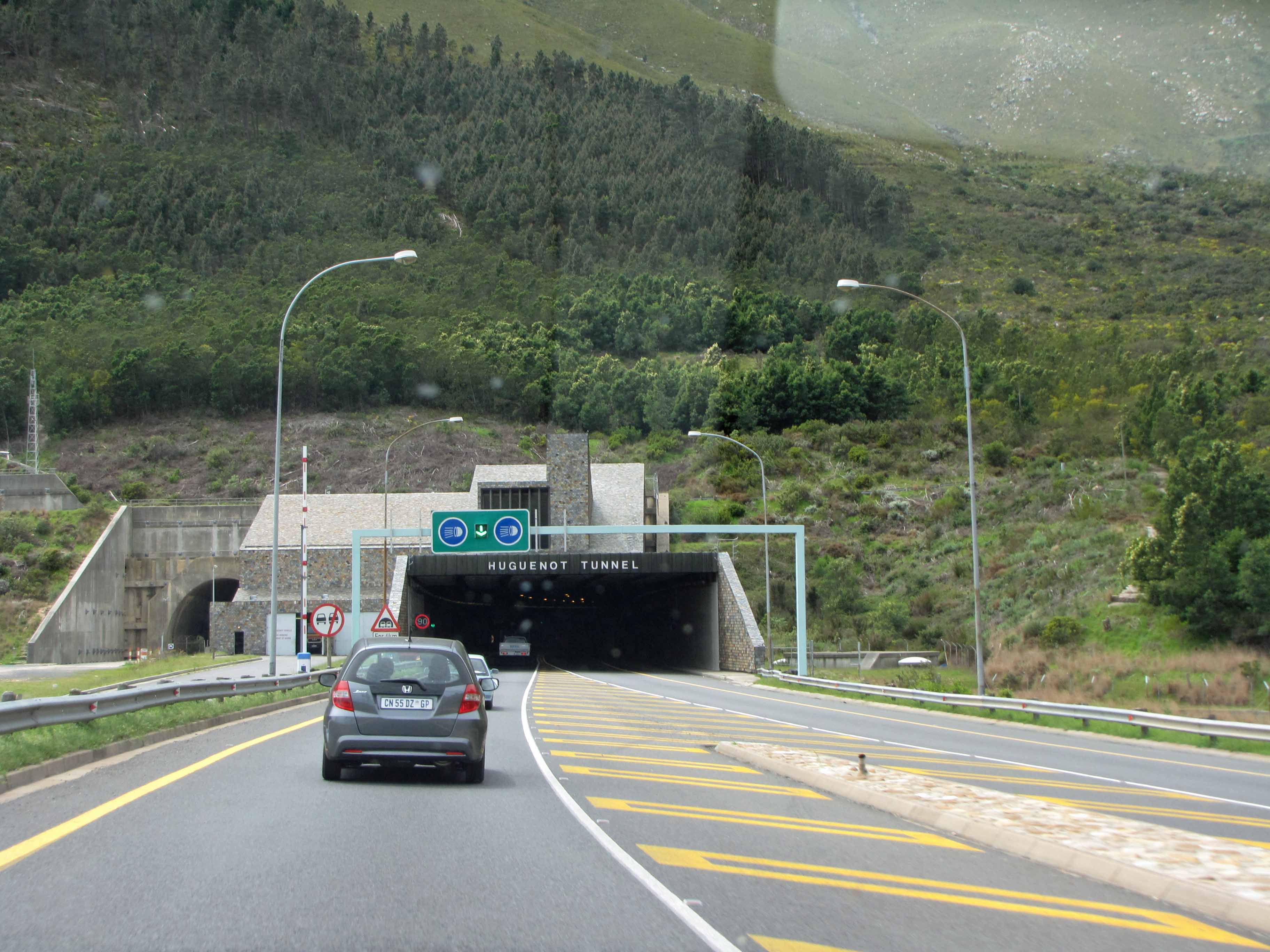
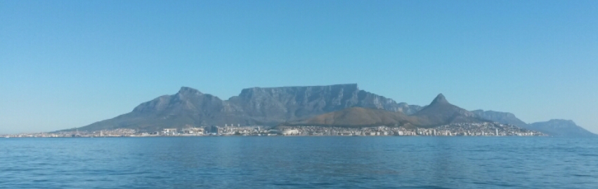
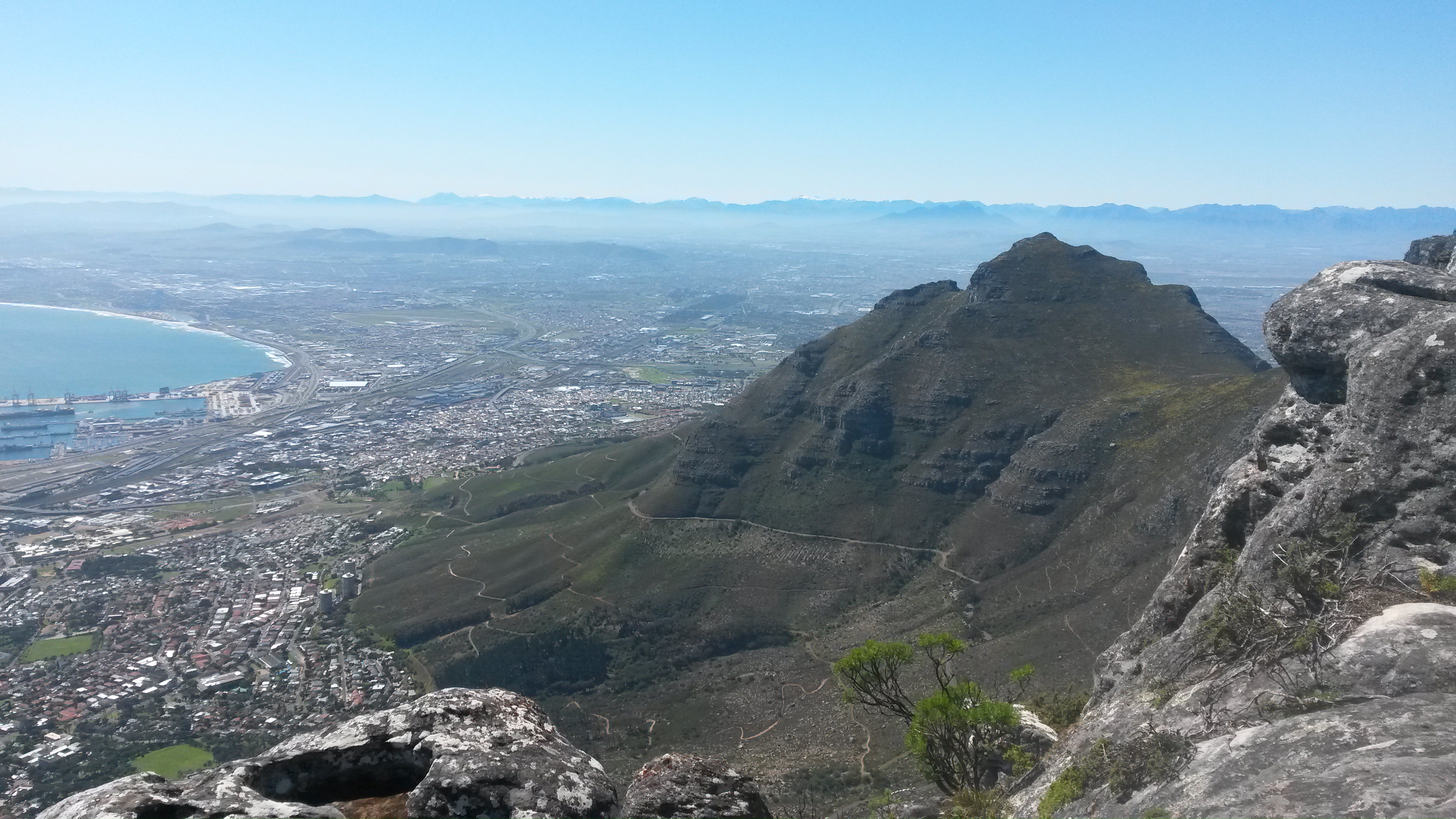
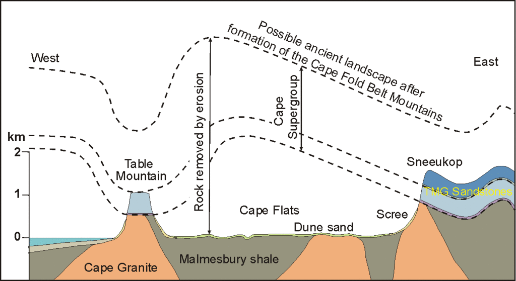
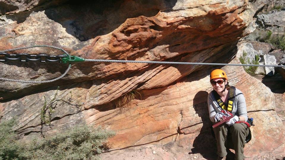
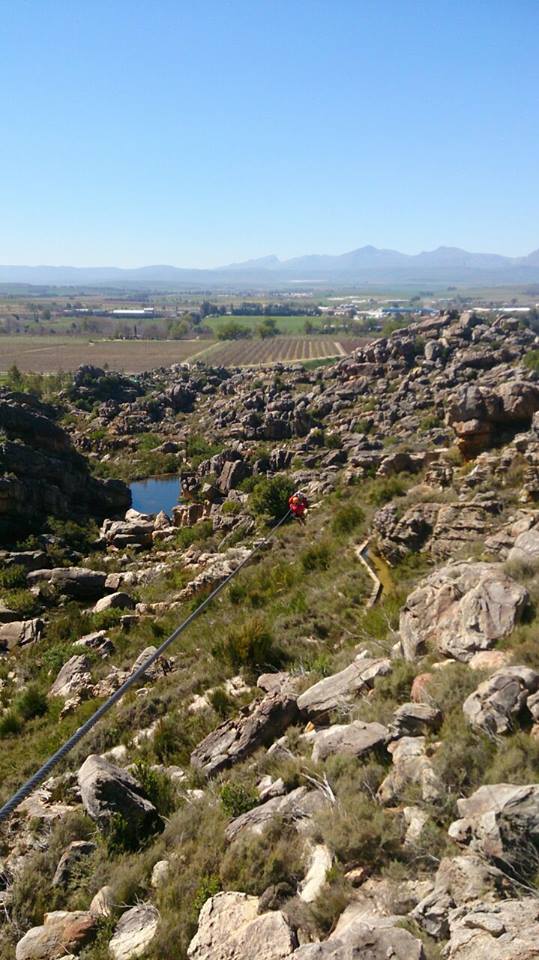
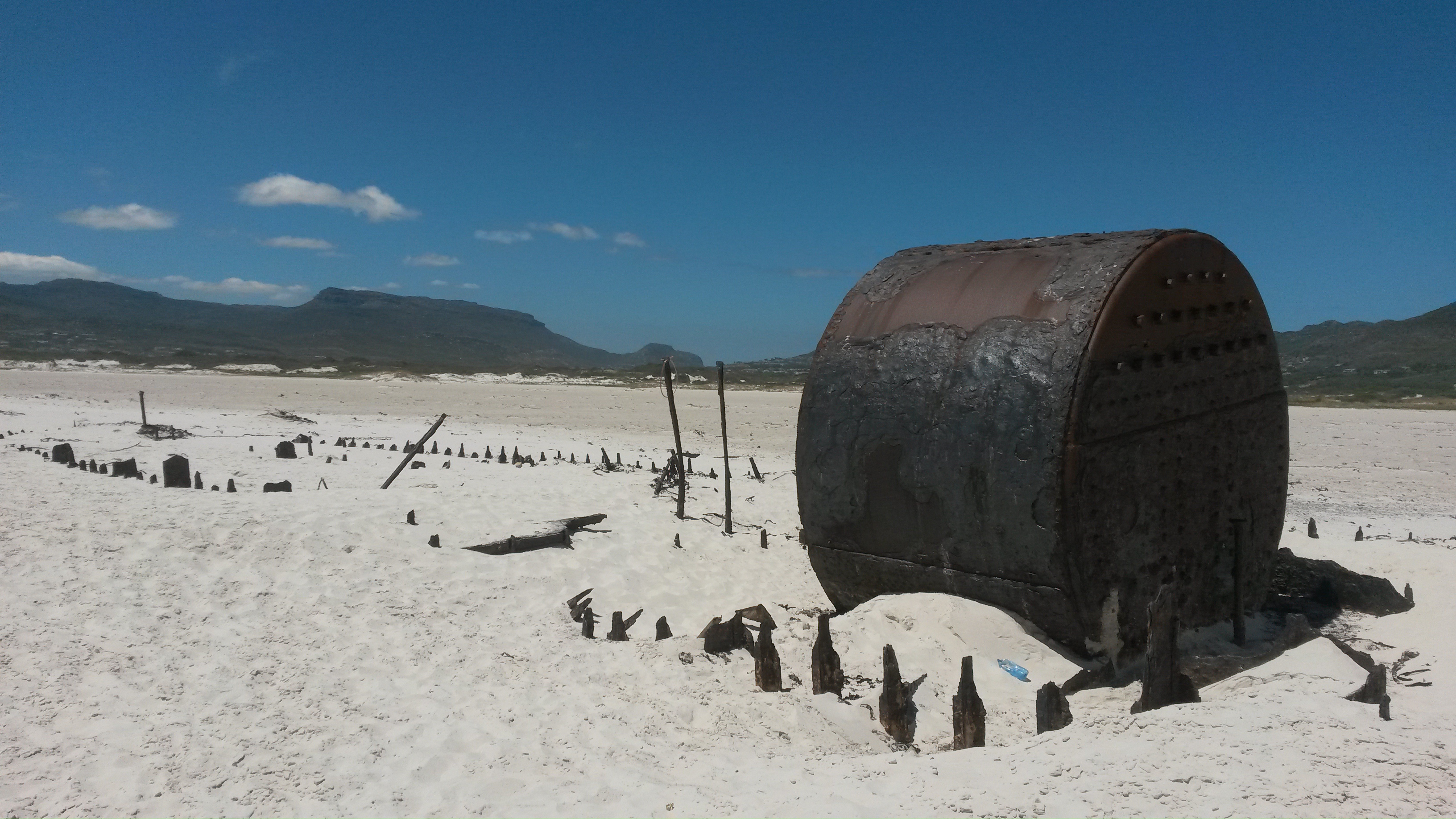
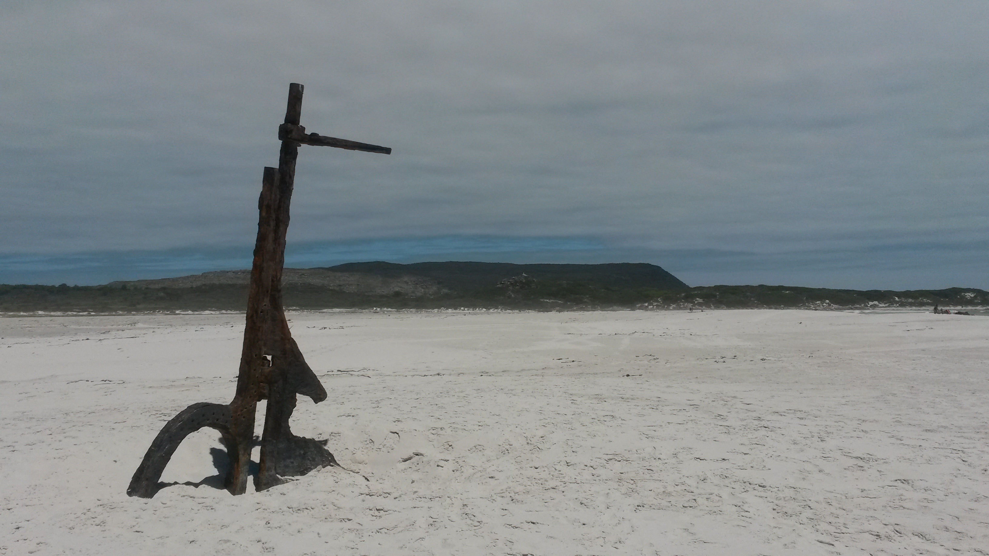
At long last, I’m finishing up my series of posts about my October 2013 visit to the small town of Sutherland in South Africa’s Northern Cape province. Sutherland is home to a South African Astronomical Observatory (SAAO) research station that contains many telescopes, including the Southern African Large Telescope (SALT). You can read Part I of this series here, Part II of this series here, Part III of this series here, Part IV of this series here, Part V of this series here, and Part VI of this series here. In my previous posts, I blogged about the astronomical observatory, and I also discussed the Dwyka Diamictite rock that I observed along the road to Sutherland. In this final post, I’d like to share some views of the stunning Cape Fold Belt, which we drove through on our way from Cape Town to Sutherland.

I can’t believe that it’s taken me over a year to finish up this series of posts. I’ve certainly been neglecting my geology blogging this year! However, I’ve had an extremely busy year. I started a new job then 8 months later I was promoted into another new job. So, I’ve been trying to find my feet in my new work environment. I also spent 10 weeks working at sea and was busy with other travel, both for work and for personal reasons. In any case, I’m hoping that the rest of the year will be a little quieter so that I can catch up on my blogging backlog. Then, in the New Year, I’d like to resurrect the Geology Word of the Week. 

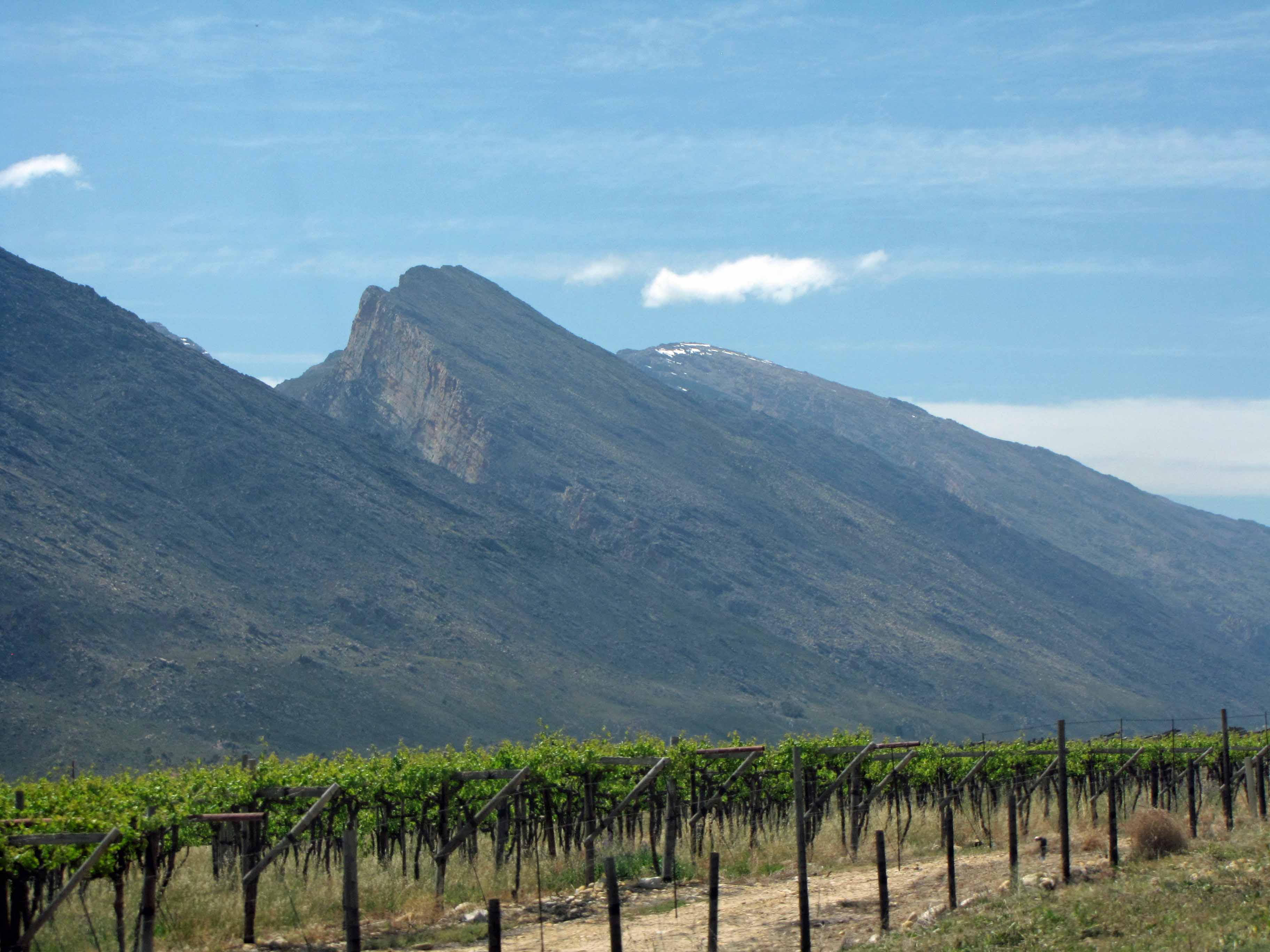
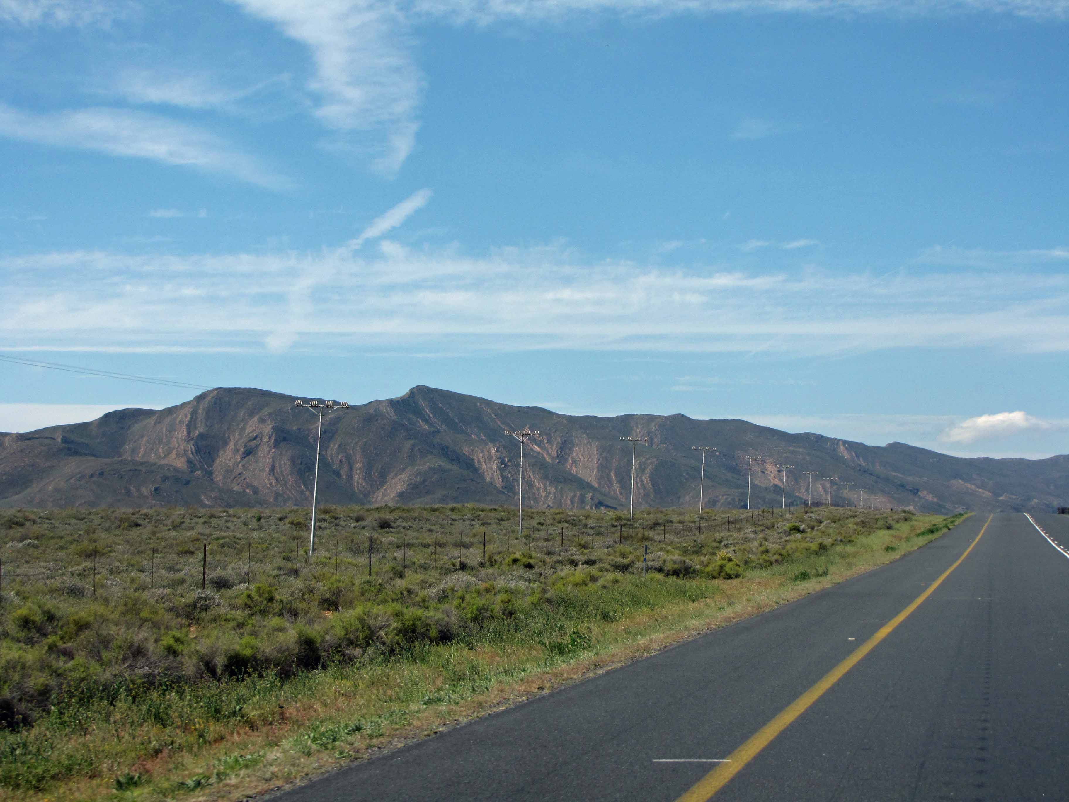
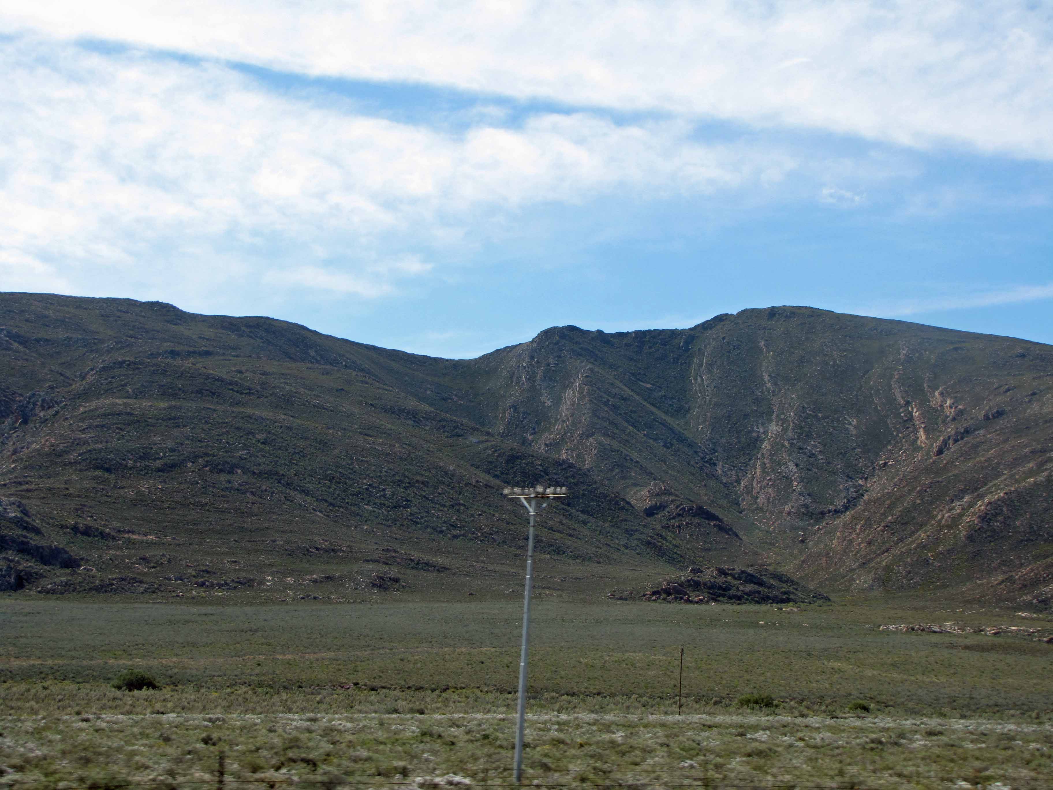
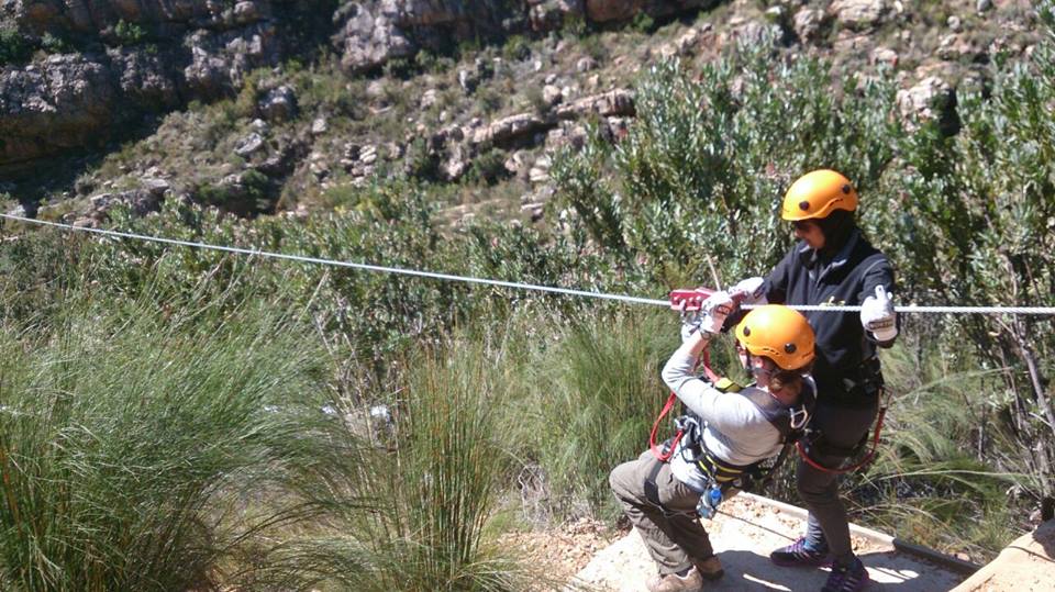
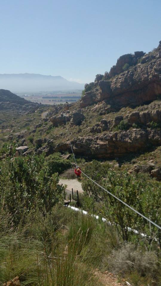
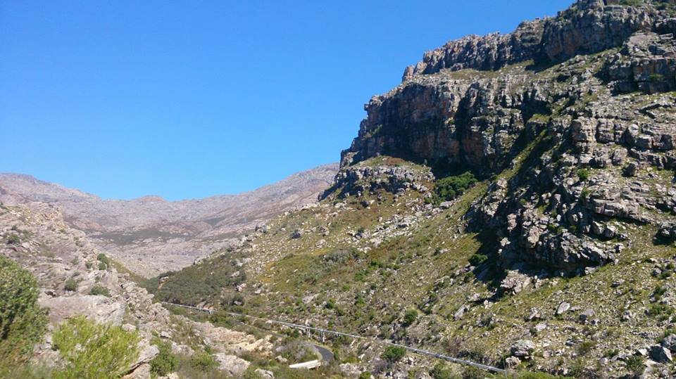
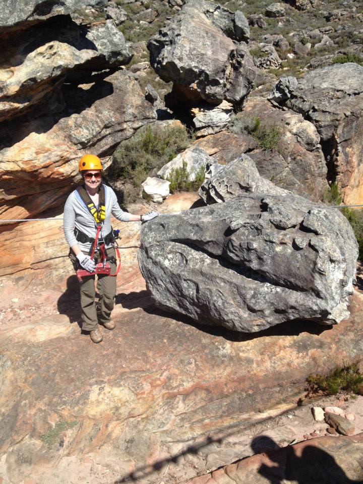
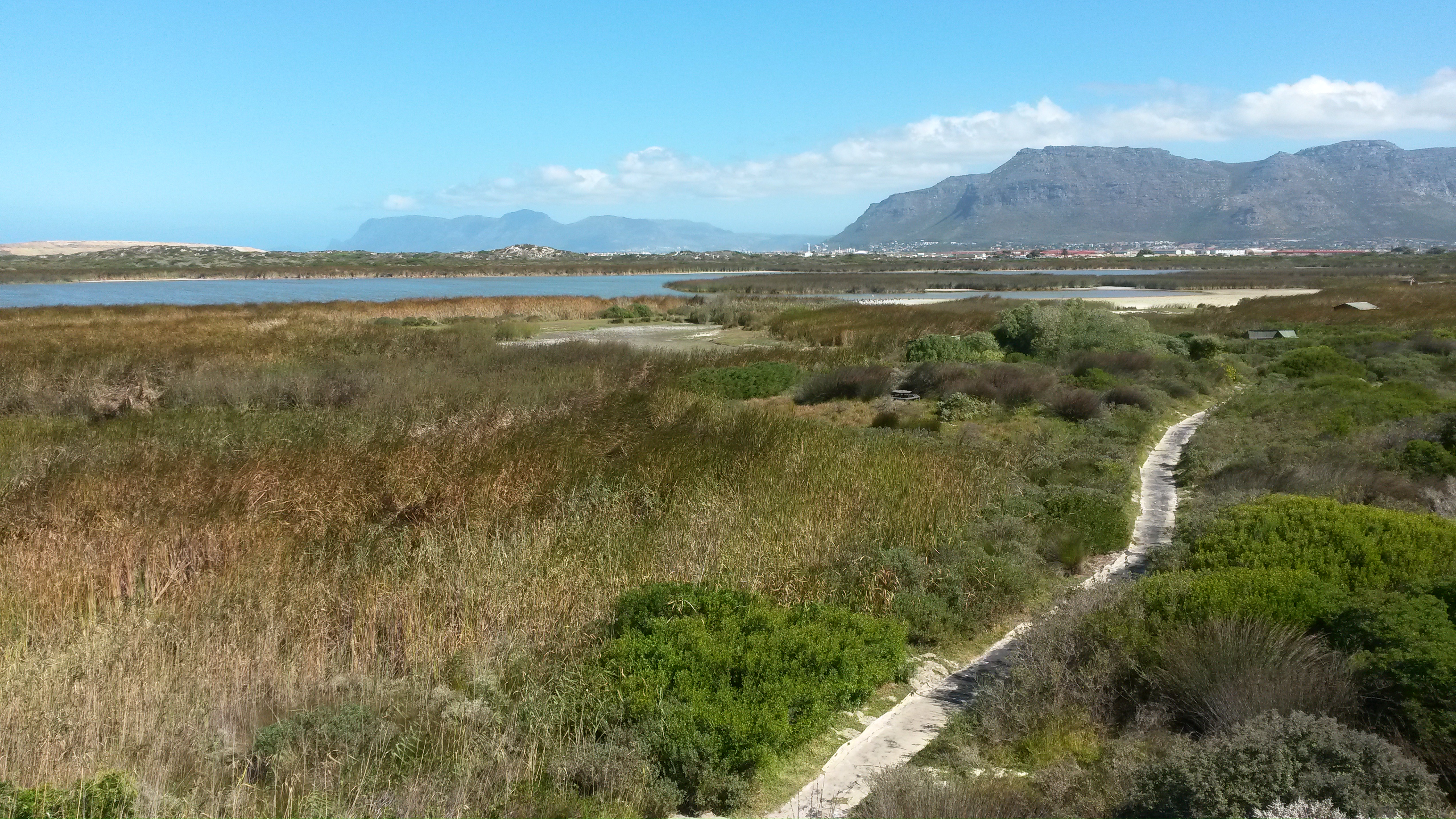
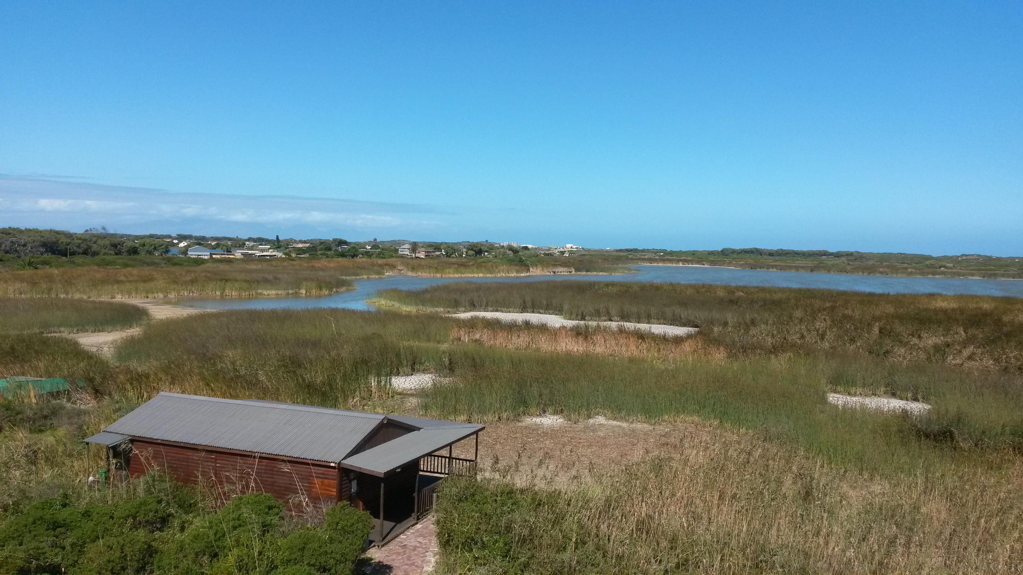
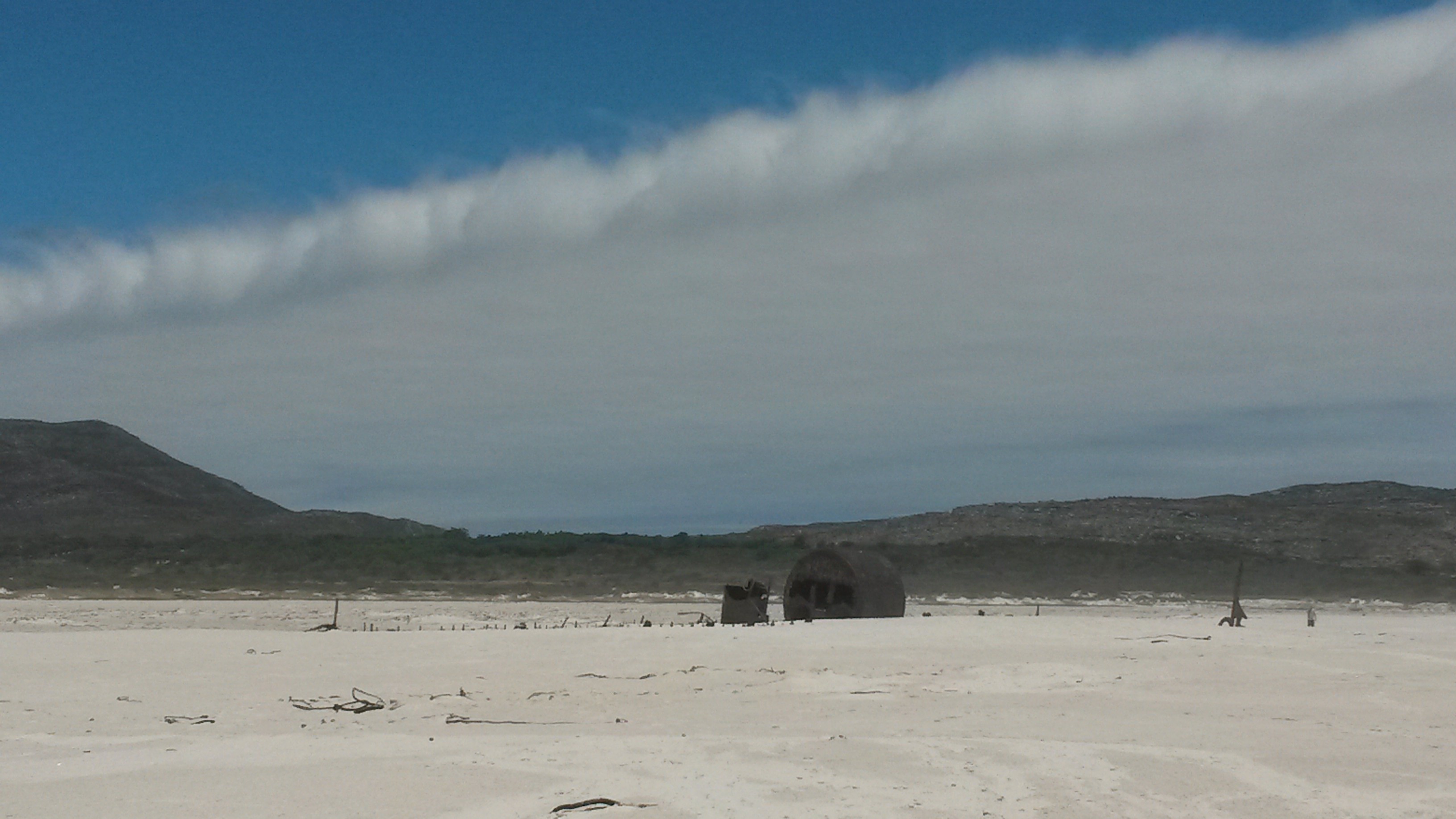
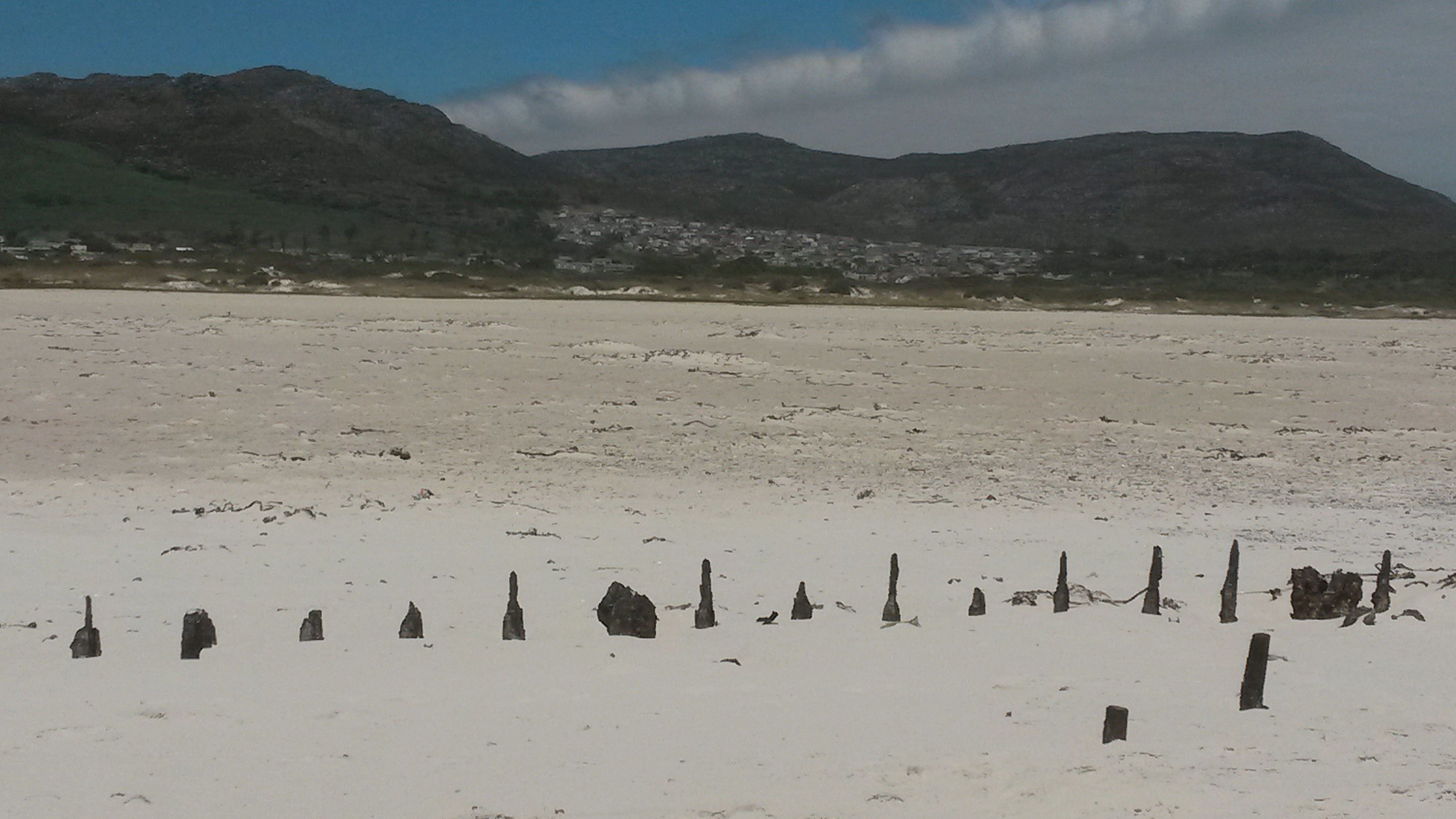
For now, though, enjoy these beautiful views of the Cape Fold Belt:

Cape Fold Belt #2. Driving into the belt.
Cape Fold Belt #2. Driving into the belt and looking back at some winelands.
Cape Fold Belt #3. The Huegonot Tunnel through one of the belt's mountains.
Cape Fold Belt #3. The Huguenot Tunnel through the Du Toitskloof Mountains.
Cape Fold Belt #4.
Cape Fold Belt #4.
Cape Fold Belt #5.
Cape Fold Belt #5. There’s some folding!
Cape Fold Belt #6. Emerging into the winelands near Robertson.
Cape Fold Belt #7. Vines and misty mountains.
Cape Fold Belt #8.
Cape Fold Belt #8.
Cape Fold Belt #9. Uplift!
Cape Fold Belt #9. Stunning tilted mountains.
Cape Fold Belt #10.
Cape Fold Belt #10. A roadcut through tilted rocks.
Cape Fold Belt #11.
Cape Fold Belt #11. More beautiful winelands.
Cape Fold Belt #12.
Cape Fold Belt #12.
Cape Fold Belt #13.
Cape Fold Belt #13.
Cape Fold Belt #14.
Cape Fold Belt #14.
Cape Fold Belt #15.
Cape Fold Belt #15.
Cape Fold Belt #16.
Cape Fold Belt #16.
Cape Fold Belt #17.
Cape Fold Belt #17.
Cape Fold Belt #19.
Cape Fold Belt #18.
Cape Fold Belt #19.
Cape Fold Belt #19.
Cape Fold Belt #20.
Cape Fold Belt #20.
Cape Fold Belt #21.
Cape Fold Belt #21.

Monday Geology Picture: Cape Town from the Sea

Table Mountain viewed from the sea. Bon Voyage, Cape Town!

On Saturday, I unexpectedly had to hop on a ship for a month for a work trip. So, blogging may be a little bit light over the next month. I’ll try to post when I can, but I’ll be limited by the slow shipboard internet.

As the ship was leaving Cape Town on Saturday afternoon, I enjoyed some stunning views of Cape Town from the sea. The picture above shows a beautiful view of Table Mountain with the city of Cape Town in front of it.

Monday Geology Picture(s): Two Views from the Top of Table Mountain

My two American geologist friends, with whom I went ziplining amidst some sedimentary rocks a little over a week ago, left on Saturday. Before they left on their evening flight, we decided to go up Cape Town’s beautiful Table Mountain. We took the cable car up the mountain, hiked around on the top for a couple of hours, and then took the cable car back down. Saturday was a beautiful sunny day with good visibility, so we saw some stunning views from the top of the mountain. Here are two of them:

Table Mountain, sloping down to the city of Cape Town below.
Another view from the top of Table Mountain, this time looking towards the inselberg Lion's Head (the knob of rock) and Robbin Island.
Another view from the top of Table Mountain, this time looking towards the inselberg Lion’s Head (the knob of rock) and Robbin Island.

Table Mountain is comprised of the same sandstone rocks that we saw when we went ziplining in the Cape Fold Belt. However, the sandstone rocks of Table Mountain are relatively flat and unfolded, their preservation a result of the mountain’s granite core. Here’s a figure, taken from Prof. John Compton’s book The Rocks and Mountains of Cape Town, that explains the geological relationship:

Geology of the greater Cape Town area, showing how the Table Mountain Group sedimentary rocks are related to uplifted rocks in the Cape Fold Belt. Image taken from  Compton (2004).
Geology of the greater Cape Town area, showing how the Table Mountain Group sedimentary rocks are related to uplifted rocks in the Cape Fold Belt. Image taken from Compton (2004). Click image to enlarge.

Monday Geology Picture(s): Cross-Bedding in Ceres, South Africa

Posing with some pretty cross-bedding in Cape Fold Belt sandstones, Ceres, South Africa.
Posing with some pretty sandstone cross-bedding in the Cape Fold Belt, Ceres, South Africa.

Soon, I’ll continue with sharing more pictures from my geological wanderings in Mauritius earlier this year. However, for this week’s “Monday Geology Picture” I want to share some pictures from my recent visit to the little town of Ceres in the Western Cape of South Africa. Last Friday, I went to Ceres for the day with my husband and two friends visiting from America. Ceres is about an hour and a half north of Cape Town by car and is located in a geologic feature known as the Cape Fold Belt. In the Cape Fold Belt, sandstones and other sedimentary rocks have been extensively uplifted and folded. However, there are still many places where you can glimpse some primary sedimentary structures, such as the sandstone cross-bedding shown in the picture above. I posed with this cross-bedding when I was on a zipline adventure at Ceres Zip Slide Tours. If you like beautiful views of sedimentary rocks and aren’t afraid of heights, I highly recommend ziplining in Ceres. We had a great time!

Here are some more pictures from our ziplining adventure in Ceres:

Nervously preparing to launch myself on the first zipline of the day.
One of my friends on the first zipline. You can see vineyards in the background.
One of my friends on the first zipline. You can see some vineyards in the background.
On another zipline. What a view!
On another zipline. What a view! What a great way to look at some uplifted sedimentary rocks!
Stunning sedimentary scenery.
More stunning scenery.
Yet more stunning scenery.
Just stunning.
A friend on another zipline. This was a long one!
Posing with an interesting rock that is supposed to resemble a T-Rex head.
Posing with an interesting rock that resembles a dinosaur head.
A zipline with a view...
Another stunning zipline view.
Having fun... I think I'm (mostly) over my nervousness here.
Having fun… I think I’m (mostly) over my nervousness here.
On one of the last ziplines.

What a fun day and a fun way to see some geology!

Monday Geology Picture(s): More Petrified Wood at Kirstenbosch Garden

Petrified log at Kirstenbosch Gardens, held by my husband.
Petrified log at Kirstenbosch Garden, held by my husband.

My apologies again for the light blogging recently. My day job as an industry geologist has been keeping me extremely busy over the past couple of months. However, on Friday my husband and I are to the US for a much-needed three weeks of vacation, including spending time with friends and family whom we see far too rarely. Hopefully I’ll be able to squeeze in a little time for blogging during our vacation. Otherwise, I’ll do my best to pick up the blogging again in about a month. In the meantime, the “Monday Geology Picture” posts will have to tide you over until I can settle down for some real blogging.

Today, I thought I would share some more pictures of the petrified wood that my husband and I recently saw at Kirstenbosch Garden here in our home city of Cape Town, South Africa. Enjoy! True geologists, my husband and I spent far more time looking at the “trees of stone” than at the real trees of the botanical garden.

Sign explaining how petrified wood is formed.
Sign #1 explaining how petrified wood is formed. Click to enlarge.
Sign #2 explaining how petrified wood is formed.
Sign #2 explaining how petrified wood is formed. Click to enlarge.
Sitting on a petrified log.
Petrified wood between the signs about how petrified wood forms.
Petrified wood, with sunglasses for scale.
More petrified wood.
More petrified wood. These are heavier than they look!
My husband Jackie holding some petrified wood.

Monday Geology Picture: Posing with Petrified Wood in Kirstenbosch Garden

Posing with some petrified wood in Kirstenbosh Garden, May 2014.

My apologies that my blogging has been very light over the past few weeks. I didn’t even post my “Monday Geology Picture” these past few weeks! A busy work schedule combined with some family issues meant that something had to go, and unfortunately that something was blogging here on Georneys. Never fear, though! I won’t abandon you! That said, starting in mid-June, I am going to be travelling for ~3 months, but before I depart I will set up many “Monday Geology Pictures” to auto-post. I have a few of my own geology pictures that I can share. However, if you have a fun geology picture, please feel free to email it to me (georneysblog at gmail), and I’d be delighted to share your picture here. Please include a caption, photographer credit, and a link to your website/blog (if you like me to link to something).

Before I depart for my travels, I’ll also wrap up my “Sutherland Sky” series of posts, and I’ll share some geological pictures from my March vacation to the beautiful volcanic island of Mauritius. And, when I have some downtime during my travels, I’ll post a few other things.

With that explanation, let me move on to this week’s “Monday Geology Picture.” This week I thought I’d share a picture of me posing with some petrified wood. A couple of weeks ago my husband and I visited Kirstenbosch National Botanical Garden here in Cape Town, South Africa. We’ve been to Kirstenbosch many times, but this was the first time that we discovered Kirstenbosch’s rock garden! I have to say, as a geologist, I enjoyed the rock garden even more than the regular garden… but of course the regular garden is lovely as well. I’ll share some more pictures from Kirstenbosch in the future.

Monday Geology Picture: Table Mountain Silhouette

Table Mountain viewed from Milnerton Beach, April 2014.

I am very fortunate to live in beautiful Cape Town, South Africa. One of Cape Town’s best geographical (and geological) features is Table Mountain. I see Table Mountain pretty much every day– I have a nice view of it on my drive to work. For this week’s Monday Geology Picture I’m sharing a beautiful view of Table Mountain. I took this picture from Milnerton Beach during a recent weekend walk.

Monday Geology Picture(s): A Few More Pictures from Rondevlei

A view of some of Cape Town's mountains, with Rondevlei in the foreground.
A view of some of Cape Town’s mountains, with Rondevlei in the foreground.

For this week’s “Monday Geology Picture” post I thought I would share a few more pictures from my recent visit to Rondevlei Nature Reserve here in the Western Cape of South Africa. I shared one picture last week. As a quick reminder, Rondevlei is a vlei or marsh that is home to the Western Cape’s only population of hippos. When I visited the vlei a little over a week ago, the water level was low, and I saw some very impressive mudcracks and salt accumulations. I didn’t see any hippos, unfortunately– I’ll have to go back to the vlei one evening since the hippos are not active during the day.

Another view of Rondevlei. This picture was taken from one of the observation towers on the nature reserve.
A picture of the Rondevlei sign... with hippo theme!
A picture of the Rondevlei sign… with hippo theme!
More mudcracks at Rondevlei.
Low water levels at Rondevlei.
Another view of the low water levels at Rondevlei.
A close-up view of some mudcracks and salt accumulations.

Monday Geology Picture: Mudcracks at Rondevlei


Mudcracks at Rondevlei.

Yesterday my husband and I visited the Rondevlei Nature Reserve here in the Western Cape of South Africa. Rondevlei is the only place in the Western Cape where hippos live. Hippos lived in the Western Cape historically, but they went extinct in the 1700s. A few hippos were re-introduced to Rondevlei in the 1980s. We didn’t see any hippos during our walk around Rondevlei– apparently hippos are seen in the evening when they’re active. However, we did see some impressive mudcracks since the water level in the vlei or marsh is quite low at the moment. A view of some of the mudcracks is shown above.

Monday Geology Picture(s): More Views of the Shipwreck on Noordhoek Beach, South Africa

Beautiful Noordhoek Beach, February 2014.

A few weeks ago I featured a picture of the S. S. Kakapo shipwreck on Noordhoek Beach in the Cape Town, South Africa, area for my “Monday Geology Picture” post. Yesterday my husband and I took a walk along Noordhoek Beach, which is quite a long beach. Walking from the parking lot at one end of the beach to the shipwreck at the other end of the beach takes about an hour at a leisurely pace. For this week’s “Monday Geology Picture” post I thought I would share a few more pictures of the Noordhoek Beach shipwreck. Enjoy!

The SS Kakapo shipwreck from a distance, February 2014.
The S. S. Kakapo shipwreck from a distance, February 2014. There is also a spectacular cloud in the sky.
Approaching the shipwreck, February 2014.
Rusty remains, February 2014.
More rusted remains, February 2014.
More rusty remains, February 2014.
A close-up view of the rusty remains of the boiler, February 2014.
Another view of the rusty boiler, February 2014.
Ship skeleton on the sand, February 2014.
A rusted pillar in the sand, February 2014.
A rusted ship sculpture in the sand, February 2014.