A Presidents’ Day Rock: Granite (& Mica Schist)

Presidents carved in granite. Image taken from wikipedia here.

Happy Presidents’ Day, everyone!

Lab is nice and quiet today, in honor of our nation’s presidents. Excellent. I always accomplish more on holidays! Fewer people around to distract me.

In honor of Presidents’ Day, here is a document published by the U.S. National Park Service about the geology of Mt. Rushmore:

Mount Rushmore National Memorial Geologic Resource Evaluation Report

And here is a simple geologic map of the Mt. Rushmore area taken from the above document:

Simple geologic map of the Mt. Rushmore area. Figure taken from here.

A Million Random Digits

First page of random digits in “A Million Random Digits” book. Image taken from Amazon.com.

Earlier this evening I met up with three classmates (all girls, by the way; my statistics class is about 90% female) to work on programming our latest statistics homework into MATLAB. Working in a group is easier as four pairs of eyes tend to catch code errors faster than one pair of eyes. Also, we can eat Chinese food and giggle and have fun as we work.

One of the things we had to do this evening was use the “rand” function in MATLAB. This function calls upon a computer algorithm that generates random– or really pseudorandom since they’re calculated by a computer– numbers. The “rand” function calls upon a random number between 0 and 1 as a default, though you can tell it to use other ranges.  Random numbers are very important for many types of statistical analyses and numerical simulations. These days, many computer programs, such as MATLAB, have pseudorandom number generators built in. For most types of applications in mathematics and science, a pseduorandom number is nearly as good as a random number.

But what if you need actual random numbers?

And how did people generate random numbers before computers became fancy enough to generate pseudorandom numbers?

We started wondering about these two questions this evening. During our discussion about this, one of my classmates said, “Have you ever heard of that book that is nothing but random numbers?”

Of course, we had to immediately google this book, procrastinating our coding for a few minutes.

Cover of the book “A Million Random Digits.” Image taken from here.

Indeed, there is a book that contains nothing but a short introduction and then page after page of random numbers– 1 million of them, in fact! The book is titled “A Million Random Digits with 100,000 Normal Deviates.”

This book was first published by the RAND Corporation in 1955. If you go to the RAND website about the book, you can actually download the book for free. The text parts of the book come as PDF files and you can download the million random numbers as a data file. In the old computing days, you could order punch cards with these million random numbers. If you want a hard copy of this book (magicians and mentalists– wouldn’t this book make a great prop for your shows?), you can order it either from the RAND website or from Amazon.com.

A book of random numbers might seem incredibly boring; you wouldn’t want to read this book cover-to-cover, that’s for sure. Yet however boring, this book is very useful. Even though pseudorandom number generators are much easier and more commonly used these days, there are still times when mathematicians and scientists need truly random numbers. And for this, the RAND compilation remains the largest published source of random digits.

You might be wondering how these million random digits were generated. If you read the introduction to the book, the method of number generating is explained in detail. Basically, the numbers were generated on a roulette wheel. So, if you went to Las Vegas and played roulette for days (years?), you could generate a million random numbers, assuming there are no biases in the wheel.

Roulette Wheel. Image taken from wikipedia here.

The wheel that was used to generate the random numbers was actually an electronic roulette wheel that was hooked up to a very early computer. At first, the numbers looked random, based on various statistical tests. However, after awhile the RAND employees evaluating the randomness of the numbers realized that their electronic roulette wheel wasn’t perfectly random– there was some drift over time, probably as the machine aged and changed slightly in operation. You can read more about the biases of the electronic roulette machine here. To make the numbers truly random, the RAND employees- to put it simplistically- shuffled them up a bit.

I think this book of numbers is really great. I’m even tempted order this book as a coffee table book. I can just imagine my in-laws (who already think I’m strange) picking this book up off the coffee table and wondering why on Earth we have a book of numbers. I can’t quite justify the purchase (the book is about $70) on my graduate student budget, but perhaps I’ll order it sometime in the future.

Many people find this book of numbers both interesting and amusing. If you go to Amazon.com and read the reviews for this book, there are a plethora of hilarious ones. Below are a few reviews I found particularly entertaining:

“The book is a promising reference concept, but the execution is somewhat sloppy. Whatever algorithm they used was not fully tested. The bulk of each page seems random enough. However at the lower left and lower right of alternate pages, the number is found to increment directly.”

-B. McGroarty

“Such a terrific reference work! But with so many terrific random digits, it’s a shame they didn’t sort them, to make it easier to find the one you’re looking for.”

-A Curious Reader

“I definitely prefer books like ‘One million sequential numbers’ as the story always steadily progresses. By comparison this book is just so and so.”

-Devide Cerri

“For those who thought that ‘Atlas Shrugged’ could not be surpassed, here Rand refutes all doubters and utterly tops that opus in a style so rarefied and refined that words themselves have been transcended, with the essence–no, the ethereal, mystical quintessence–of Rand’s philosophy expressed as its ultimate ur-truth of a million unrelated symbols floating forever in pure mindless randomness. Rand’s myrmidons will find this most congenial, and I recommend that they spend the rest of their days reading this ne plus ultra masterpiece, meeting 24/7 in pure white Randian temples, there to pontificate and meditate on this wonder and that way stop bothering everybody else.”

-George Zadoronzy

“Wow, what can I say. A very insightful novel. The way the author manages to manipulate those numbers was wonderful.

SPOILER ALERT!!!

I have to admit, there were many twists that I didn’t expect, especially when he decided to follow up 9238399 with 2883002. I have to admit, the beginning was rather slow, but it began to pick up pace somewhere on page 7. My only regret is that there isn’t a sequel, because the author left it at a cliffhanger.

At times spontaneous, blunt, and errant, this is a book that you can definitely share with your friends.”

-Anna Huynh

A Conversation with My Doctor

Last weekend I made a quick trip down to Tennessee to visit family since my great-grandmother recently passed away. I flew out of and back into Boston Logan airport. Before I headed back down to the little village of Woods Hole, I went to visit my doctor at MIT Medical– a facility that serves MIT staff, students, and their families.

I had a somewhat entertaining conversation with my doctor. The conversation went something like this slightly stylized version:

*****************
Doctor: So, tell me what’s bothering you.

Me: Well, my left hand is somewhat numb and painful. I think I’ve just been working under the microscope for too many hours, but I thought I’d visit just in case I’m dying of some horrible disease.

My doctor laughs softly then catches herself and tries to look more serious.

Doctor: Is your hand numb everywhere?

Me: Somewhat, but it’s mostly the two outer fingers.

Doctor: Huh. Well, I would ask you if your hand felt better on weekends, but you probably work through the weekend.

Me: Yes. Well, except this past weekend. And my hand does feel a little better.

Doctor: Oh good. Did you do anything fun?

Me: My grandmother died.

Doctor: Oh. Well, you said your hand is feeling better?

My doctor does various reflex tests and decides that I am probably putting too much pressure on a nerve at my elbow, probably by leaning on my elbow when using the microscope.

Me: Great. I’m not dying of any terrible disease. Just of my thesis.

Doctor (laughing): I guess you could say that. Well, I recommend that you work fewer hours under the microscope and take some weekends off.

The blood drains from my face, and I start twitching nervously.

Me: I’m a 5th year.

Doctor: Oh. In that case, try putting a pillow under your elbow.

*****************

Don’t worry. I’ve switched to another microscope and my left hand is doing much better. I can almost feel all my fingers again. Besides, in a few short months all this scientific perspiration will pay off.

However, I am looking forward to being finished with graduate school and having a better life balance. Perhaps I’ll even have all of my fingers.

Geology Word of the Week: P is for Peridot

Peridot gemstone. Image taken from here.

def. Peridot:
Peridot is a gem-quality olivine [(Mg,Fe)2SiO4], a beautiful green mineral found in mafic to ultramafic rocks.

My engagement stone is a peridot– my fiance was pleasantly surprised that my favorite gemstone is among the cheaper gemstones. Though far less durable than diamond, peridot has a beautiful green color which I love.

Most gemstones have alter ego mineral names. Below are some examples:

Peridot- Olivine: (Mg,Fe)2SiO4
Ruby- Corundum (Red): Al2O3
Sapphire- Corundum (All other colors except red): Al2O3
Moonstone- usually Potassium Feldspar: KAl2Si3O8
Tanzanite- Zoisite (Blue): Ca2Al3(SiO4)(Si2O7)O(OH)
Amethyst- Quartz (Violet): SiO2
Aquamarine- Beryl (Blue/Turquoise): Be3Al2(SiO3)6
Emerald- Beryl (Green): Be3Al2(SiO3)6

These are just a few of the many examples of gems with both gem names and mineral names. Note how some minerals have multiple gem names depending on their color. Makes learning geo lingo a little more difficult, doesn’t it?

To be fair, some of the gem names undoubtedly originated before the mineral types were discovered/invented. Also, while color is usually a poor way to identify a mineral, color is very important for gemstones. Thus, it makes sense that some minerals such as corundum and beryl (which come in many colors) have multiple gem names. Interestingly, diamonds are always diamonds– no matter the color.

Cape Agulhas in Pictures

Yesterday I blogged a little about visiting “extreme” locations on the globe and about my visit to Cape Agulhas, the southernmost tip of the African continent. Here are a few more pictures from my visit to Cape Agulhas. My fiance and I spent a long weekend in Agulhas in March 2009. We visited the lighthouse and went on a few beachside hikes. On this overcast weekend, the tip of Africa looked mysteriously beautiful and quiet, like a calm before a storm or an eye of a hurricane. Click on any of the pictures below to view larger.

Agulhas Lighthouse 1, South Africa, March 2009.
Agulhas Lighthouse 2, South Africa, March 2009.
View from Agulhas Lighthouse 1, South Africa, March 2009.
View from Agulhas Lighthouse 2, South Africa, March 2009.
Rocks at the tip of Africa, South Africa, March 2009.
Jackie and I on the Atlantic Ocean side, South Africa, March 2009.
Indian Side, Atlantic Side, South Africa, March 2009.
Jackie’s girlfriend, South Africa, March 2009.
Southernmost laundry in Africa, South Africa, March 2009.
Southernmost Cafe in Africa, South Africa, March 2009.
Road warning, South Africa, March 2009.
Turtle warning, South Africa, March 2009.
Agulhas Lighthouse from a distance 1, South Africa, March 2009.
Pretty orange biology thingy, South Africa, March 2009.
Agulhas Lighthouse from a distance 2, South Africa, March 2009.
Trying not to wander off the edge of the continent, South Africa, March 2009.
Town of Agulhas 1, South Africa, March 2009.
Town of Agulhas 2, South Africa, March 2009.

Below are some Google Earth snapshots to put the above pictures in perspective. The location of the Agulhas Lighthouse is marked with a red pushpin. Click on any of the maps below to view larger.

Tips of the Continents

For some reason, humans like to travel to extreme or notable points on the globe: the north pole, the south pole, the southernmost point of this, the northernmost point of that, the westernmost point of this, the easternmost point of that, the highest point of that, the lowest point of that, continental divides, the equator, the arctic circle, the prime meridian, and many others.

I’m not sure why these extreme or notable points– which often don’t look like much when you visit them or which can be crazy tourist traps– are such significant travel goals for humans. Perhaps humans like having a place to seek, a destination that drives them onward rather than just a place to wander across. I suppose that this is one reason I like traveling for geology. Geology gives me specific places I need to reach: a roadcut, a stratigraphic boundary, a fossil-hunting ground, a mineral spring, a fault, an erratic boulder, a sculpture carved into a rock, a rock arch, a glacial striation, a sand dune, and so on.

On the other hand, I sometimes wish there were more time for wandering on busy, fully-scheduled geology trips. Much of my travel has, wonderfully, been funded by my geology research and geology class field trips. This is one reason I decided to become a geologist– I am often paid to travel, and I find this wonderful. However, after my PhD, I plan to take a little time off and do some wandering with no formal geology obligations. I’m sure I’ll wander across some wonderful places and some amazing geology anyway.

Maybe in my wanderings I’ll visit a few more so-called extreme points on the globe. So far, I haven’t been to too many extreme points. I guess I’ve made some progress on visiting the southernmost points of continents. I’ve been to the southernmost point of Africa and the southernmost point of Asia. Well, sort of. One of the problems with many extreme places (well, the ones that are easier to reach, perhaps not Mt. Everest and the poles) is that they attract tourists. Sometimes, locals might exaggerate or even make-up the “extreme” characteristics of their home place in order to attract more tourists.

Cape Agulhas, South Africa seems to be the geographical southernmost tip of Africa. Sentosa Island, on the other hand, seems dubious in its claim to be the southernmost point of continental Asia. I think perhaps Sentosa made up this claim to attract tourists. First of all, Sentosa is an island and not really part of continental Asia. Excluding islands, I think the southernmost tip of Asia should be located in Malaysia. Second of all, Sentosa is not the southernmost Asian island. Including islands, I think the southernmost tip of Asia should  be located in Indonesia. However, Sentosa is a beautiful– if touristy– place, so I recommend visiting anyway. You can even take a picture next to Sentosa’s dubious, slightly Engrish sign proclaiming “Southernmost Point of Asia Continent” if you want.

Perhaps I’ll try to visit the southernmost points of some other continents in my post-PhD wanderings– just five to go. Or maybe six.

Jackie (my fiance) and I at the southernmost tip of Africa, Cape Agulhas, South Africa, March 2009.
Cape Agulhas Lighthouse, South Africa, March 2009.
Rocks hanging out at the southernmost tip of Africa, March 2009.
Southernmost point of Singapore, but probably not of Asia, Sentosa, August 2007.
Beautiful Sentosa beach, August 2007.
Beautiful Sentosa bridge, August 2007.

A Valentine’s Day Rock: Heartstones

A heartstone is a heart-shaped rock. Many different types of rocks can be heartstones; all that matters is the shape. Many heartstones form naturally through tricks of weathering; others are artificially chiseled and polished into a heart shape.

I  often look for heartstones when walking– along a beach, a woodland path, or even a driveway. Whenever I find a heartstone, I think fondly of a bookstore called “Heartstone Books” that I used to visit in Putney, Vermont. Long before I ever studied geology in a formal manner, I used to enjoy looking at this bookstore’s collection of heartstone rocks and was amazed at how many different types of rocks– different colors and textures and sizes– could become heartstones.

I am currently traveling and cannot take photos of my own heartstones, so below are a few heartstone pictures that I’ve scavenged from the interwebs.

Happy Valentine’s Day, everyone!

Here are some more holiday rocks, in case you missed them:

A Birthday Rock: Peridotite

A New Year’s Day Rock: Travertine Icings and Scums

A Christmas Rock: Fossiliferous Coal

A Thanksgiving Rock: Granodiorite

Hearstone 1. Image taken from here.

Heartstone 2. Image taken from here.
Heartstone 3. Image taken from here.
Heartstone 4. Image taken from here.
Heartstone 5. Image taken from here.
Heartstone 6. Image taken from here.
Heartstone 7. Image taken from here.
Heartstone Books in Putney, Vermont. Image taken from here.
Polished heartstone on gypsum roses. Image taken from here.
Heartcut diamond. Image taken from here.

Samira the Petrology Cat

My cat Samira likes petrology. Well, she at least likes petrology books. For napping, she prefers Best’s Igneous and Metamorphic Petrology over Blatt and Tracy’s Petrology: Igneous, Sedimentary, and Metamorphic. I don’t have the heart to tell her that you cannot learn petrology through diffusion. Trust me– I tried sleeping with a petrology book under my pillow for that one test back in undergrad, and it didn’t work.

Samira the petrology cat 1, February 2011.
Samira the petrology cat 2, February 2011.

My cat Zayna, on the other hand, prefers napping on my knitting projects rather than my petrology books.

Zayna the yarn cat, January 2011.

Geology Word of the Week: O is for Ophiolite

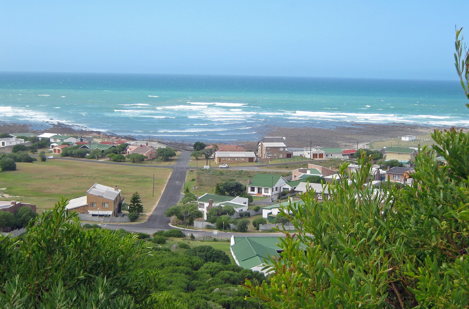
Shadows over Oman mantle peridotite, January 2009.

def. Ophiolite:
An ophiolite is a segment of ocean crust and mantle tectonically exposed on land by obduction (overthrust), usually when an ocean basin closes. An ophiolite sequence consists of variably altered oceanic rocks, including marine sediments, ocean crust, and part of the mantle. The name ophiolite means “snakestone” from “ophio” (snake) and “lithos” (stone) in Greek. The rock sequence is named for the brilliant green, snake-like serpentine minerals which form in altered ocean crust and mantle. Ophiolites are rare but nonetheless found throughout the world. Notable ophiolites are found in Cyprus, the northwestern US, the Alps, Papua New Guinea, and Oman.

I am a marine geologist, but I often cheat and work on land. For one of my PhD general exam projects, I worked on rocks from Iceland, which is a part of the Mid-Atlantic Ridge that has built up above sea level because of a hotspot. For my thesis research, I am working in the Samail Ophiolite, which is located in Oman and the United Arab Emirates and is one of the largest, best-preserved, and best-exposed ophiolites in the world. For both projects, I am studying marine rocks which have been exposed on land because of unusual circumstances. Although such rocks are anomalous and thus are not perfect analogies for your average seafloor rocks, there are great advantages to being able to actually see, touch, and– if needed for identification– taste marine rocks in the context of an outcrop.

Traditional marine geology is expensive and difficult. Since the ocean floor is generally covered by several kilometers of water, marine geologists cannot study the ocean floor using traditional geological methods. That is, marine geologists cannot walk around with their maps, hammers, and Brunton compasses and observe the geology first-hand. Instead, marine geologists must go out on ships and use remote methods to make observations and sample the ocean floor. Going out on ships is very expensive, costing tens of thousands of dollars per day. For example, one of the best ways to observe the ocean floor is to go down in a manned deep-sea submersible such as Alvin. However, operating costs for Alvin, including the ship costs, are about $40,000 per day. This is incredibly expensive, and even Alvin doesn’t allow you to walk on the rocks with your Brunton. As a comparison, a month of field work in Oman costs about $10,000 for myself and an assistant– about $3,000 for two round-trip plane tickets, about $4,000 for a rental 4 x 4, $500 for gas, $500 for food and water, maybe $500 for a few nights in a hotel (we camp the rest of the time), and $1,500 for supplies and shipping rocks. So, for 1/4 of the cost of operating Alvin for a single day, I can carry out a month of fieldwork on marine rocks exposed in the Samail Ophiolite. Oman is an expensive country, so many of these costs (such as the rental vehicle) are reduced when working on other ophiolites.

There are various remote methods of observing the geology of the ocean floor. The topography of the ocean floor can be mapped from a ship using multibeam bathymetry (bouncing sound waves off the bottom of the ocean to calculate topography) or by satellite altimetry (using the height of ocean waves to look for gravity anomalies and infer the topography below). Additional remote (shipboard or satellite) instruments allow marine geologists to measure properties, such as magnetism and gravitational pull (which can provide information on topography and density), of marine rocks. Seismic waves– passive source (generated naturally by the Earth, such as during an earthquake) and active source (generated by man, often by an explosion)– can be monitored to learn about the structure of the marine rocks. For example, the speed of seismic waves through various parts of the crust and mantle can be used to infer density. Seismic waves travel faster through more dense layers (such as hard rock like basalt or gabbro) and travel more slowly through less dense layers (such as soft marine sediment).

There are also various methods of sampling the ocean floor. One of the best ways to sample the ocean floor is to use a deep-sea submersible such as Alvin as this allows you to see exactly where the rocks you are sampling are coming from. However, since Alvin and other submersibles are so expensive, a very common method of sampling the seafloor is dredging— basically, throwing a metal basket over the side of the ship and dragging it along the seafloor. This simple technique can be very effective. As an example, when I participated in a two-month cruise along the Ninetyeast Ridge, we obtained about 3,000 kilograms of rocks by dredging. However, dredging provides only limited geological context for the samples and also tends to pick up loose surface rocks that may or may not be representative of the outcrop. For instance, these rocks may have rolled downhill from other locations. Another method of sampling is drilling cores from the ocean floor. Since the late 1960s, there has been a global effort to obtain cores from the ocean floor, in the form of first the Deep Sea Drilling Project, then the Ocean Drilling Program, and finally the Integrated Ocean Drilling Program. Cores are great because they sample the actual seafloor (not just loose rocks) and can also sample deep into the crust. However, as I discussed in my post on the lithosphere, no ocean drilling effort has managed to reach the crust-mantle boundary. Cores also have their limitations. They are only a few inches in diameter, and so they provide only narrow cylinder snapshots of the overall geology. Some cores are fairly deep, but others may only sample the upper few meters of the ocean floor. Drilling is also much more time-consuming and expensive than dredging.

Because studying the geology of the actual ocean floor is so challenging and expensive, many marine geologists also work in Iceland– the only place you can walk along an active Mid-Ocean Ridge– and at ophiolites, which are fragments of ocean crust and mantle that have been exposed on land because of unusual tectonic circumstances. Dense oceanic crust almost always subducts underneath lighter and more buoyant continental crust. This is the traditional plate tectonic situation that you learn about in introductory Earth Science classes. However, in certain circumstances ocean crust– at least small slivers– can be thrust up onto land. For example, this often happens when ocean basins close, particularly if the ocean crust is young and relatively hot and buoyant. Slivers of ocean crust may also be thrust onto land in a forearc environment. The forearc is the area located between a subduction zone and its associated volcanic arc. New continental crust is often accreted in forearc environments, and this accretion often includes small bits of ocean crust.

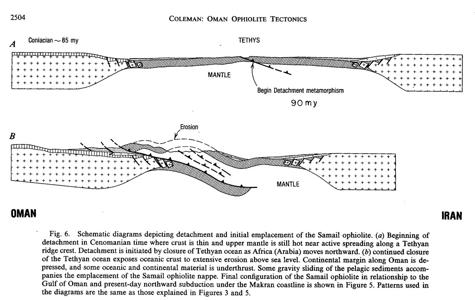
As an example, here is a simplified version of the obduction (overthrust) of the Samail Ophiolite in Oman:

Samail Ophiolite obduction. Continental crust indicated by crosses, oceanic crust
by darker shading. Figure taken from Coleman (1981). Click on the figure to view larger.

There is another important reason why marine geologists often study ophiolites: in addition to exposing ocean crust, ophiolites also often expose a section of the underlying mantle. Since scientists have never drilled deep enough into the Earth to observe the mantle, ophiolites are important because they are places where geologists can observe large sections of mantle rocks directly. Geologists can also study mantle rocks that have been uplifted to the seafloor through tectonic processes, but again all that water makes observation difficult.

Below is a map that shows global exposures of mantle (aka “ultramafic”) rocks. This map is a little dated as it was published in 1982. Since then, many more mantle exposures have been discovered, particularly on the ocean floor. However, the map gives you a good general idea of where on the Earth ophiolites (lines on continents) can be found and where mantle rocks (dots and boxes on oceans) have been brought to the surface of the ocean floor.

World map showing locations of ophiolites (lines on continents) and exposures of mantle
rocks on the ocean floor (dots and boxes on oceans). Figure taken from Hekinian (1982).
Click on the figure to view larger.

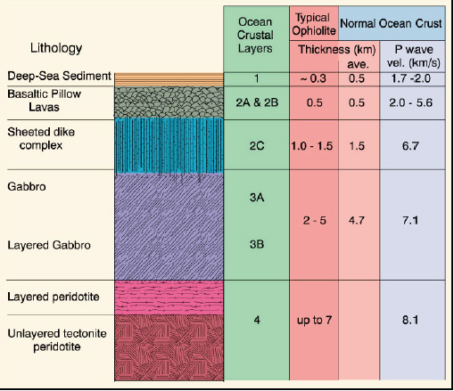
In the definition above, I mention an ophiolite sequence. The classic ophiolite sequence, such as that found in Oman, is marine sediment then volcanic basalt then plutonic gabbro (the same chemical composition as basalt, but crystallized deep rather than at the ocean floor surface) then mantle (mostly peridotite). These classic ophiolite layers have been given numbers which marine geologists use as short-hand. The numbers are:

1- Deep-sea sediment
2- Basalt
3- Gabbro
4- Peridotite

Some of these layers have been further distinguished into sub-layers based on density and textural features:

1- Deep-sea sediment- no subdivision.
2-Basalt- often further divided into A, B, and C. Layer 2A represents surface pillow lava basalt while 2C represents a zone with sheeted dikes, which cooled more slowly and are gabbroic in composition. 2B is a sort of transitional zone. Some geologists just break down Layer 2 into 2A (surface volcanics) and 2B (sheeted dikes).
3-Gabbro- often divided into 3A (regular gabbro) and 3B (layered gabbro).
4- Peridotite- not usually subdivided, though there is also regular and layered peridotite.

Ocean crust (and mantle) layers. Figure modified from Brown and Mussett (1993) and
taken from my Marine Geology & Geophysics I course notes. Click on the figure to view larger.

For many years, marine geologists based their understanding of the structure and composition of the ocean crust and mantle on the structure and composition of ophiolites. Now, marine geologists understand that the structure of the actual ocean crust and mantle often differs slightly from that of ophiolites. For instance, the ocean crust and mantle layers are often thicker in the actual ocean than in ophiolites (see above figure). Nonetheless, ophiolites provide excellent, easily-accessible analogues for the ocean crust and mantle.

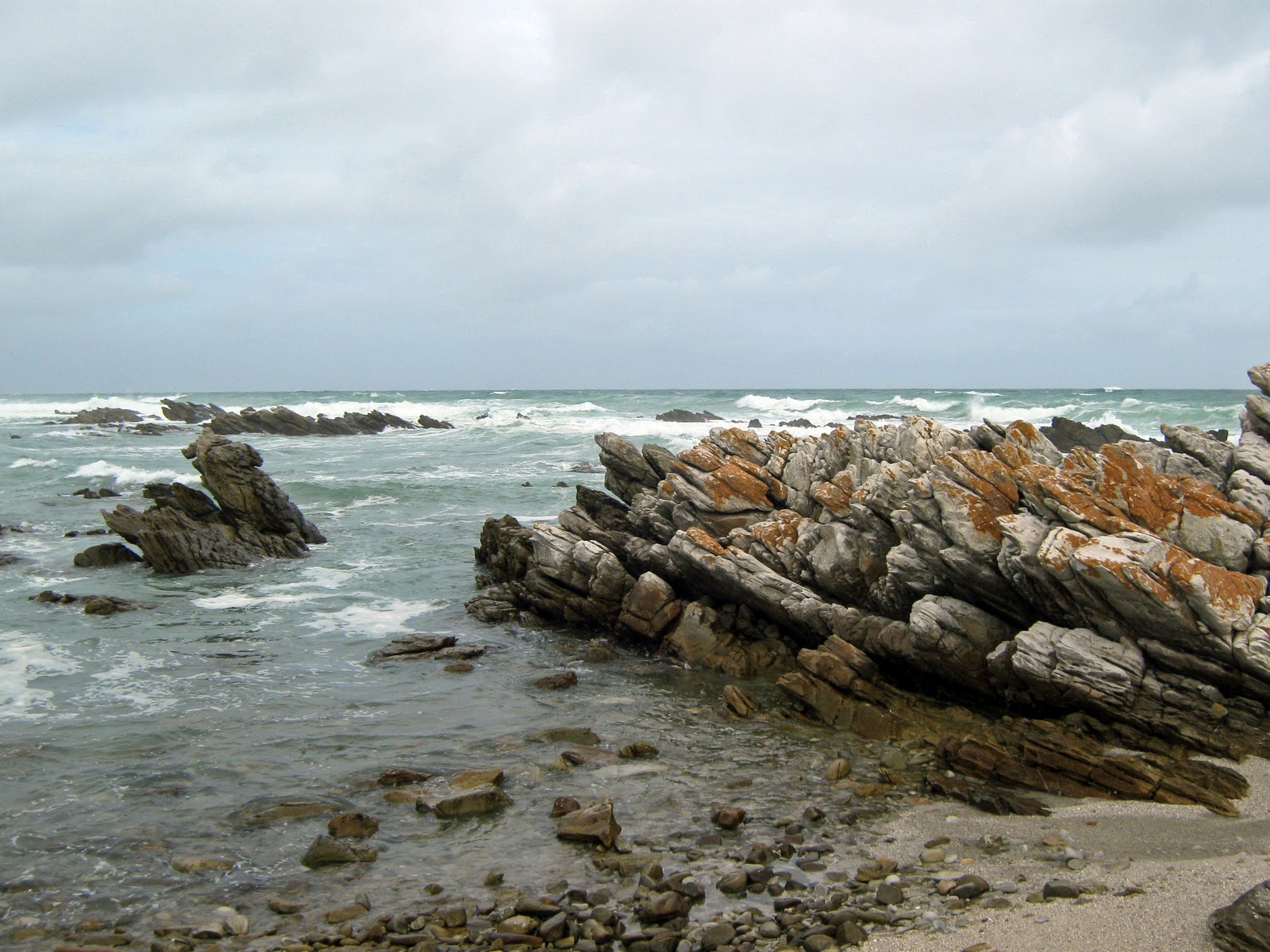
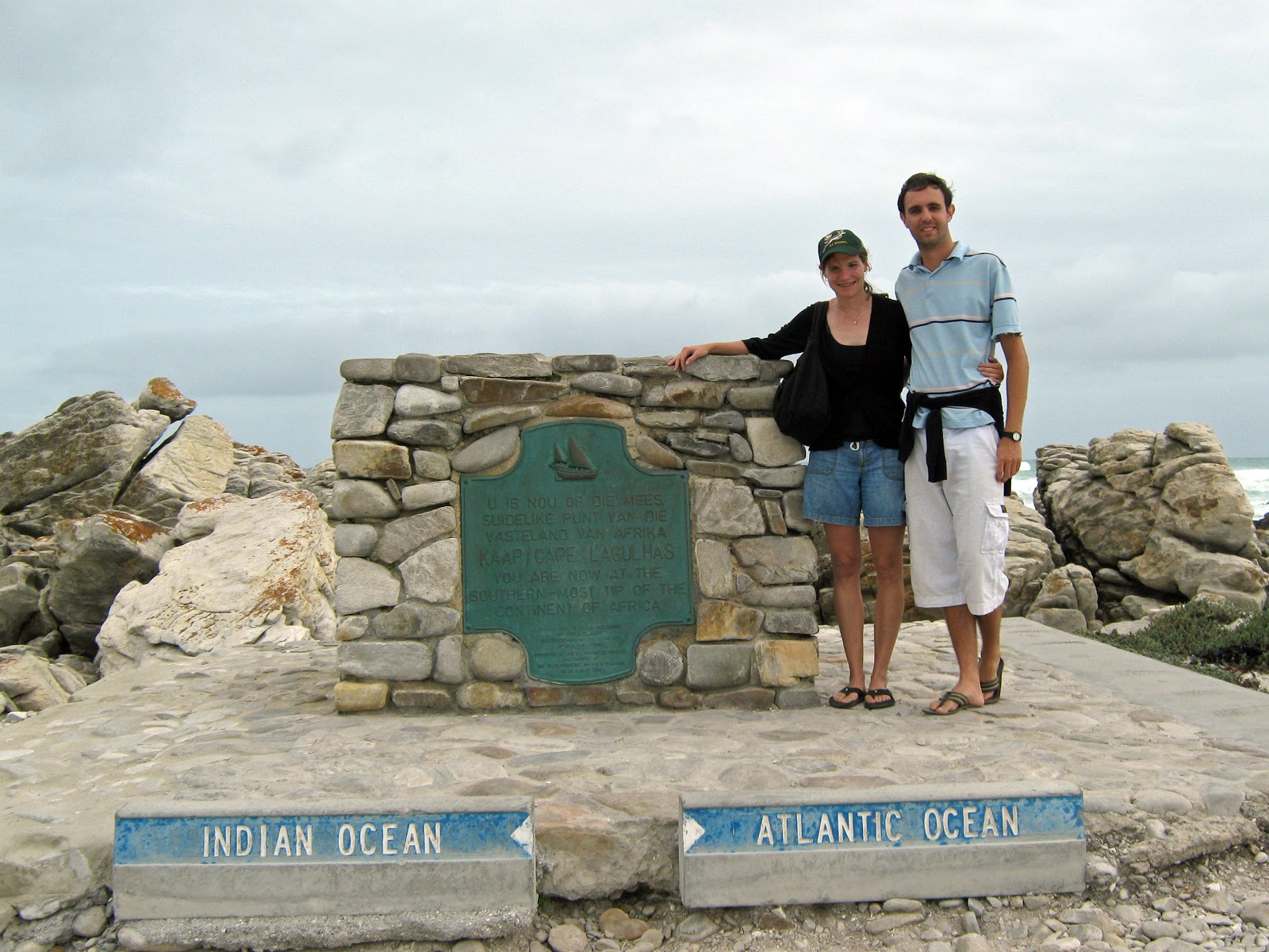
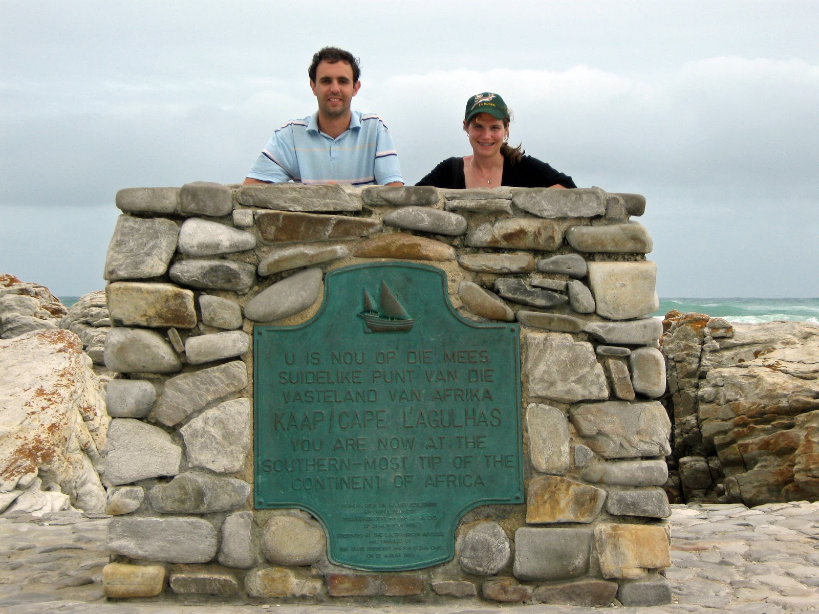
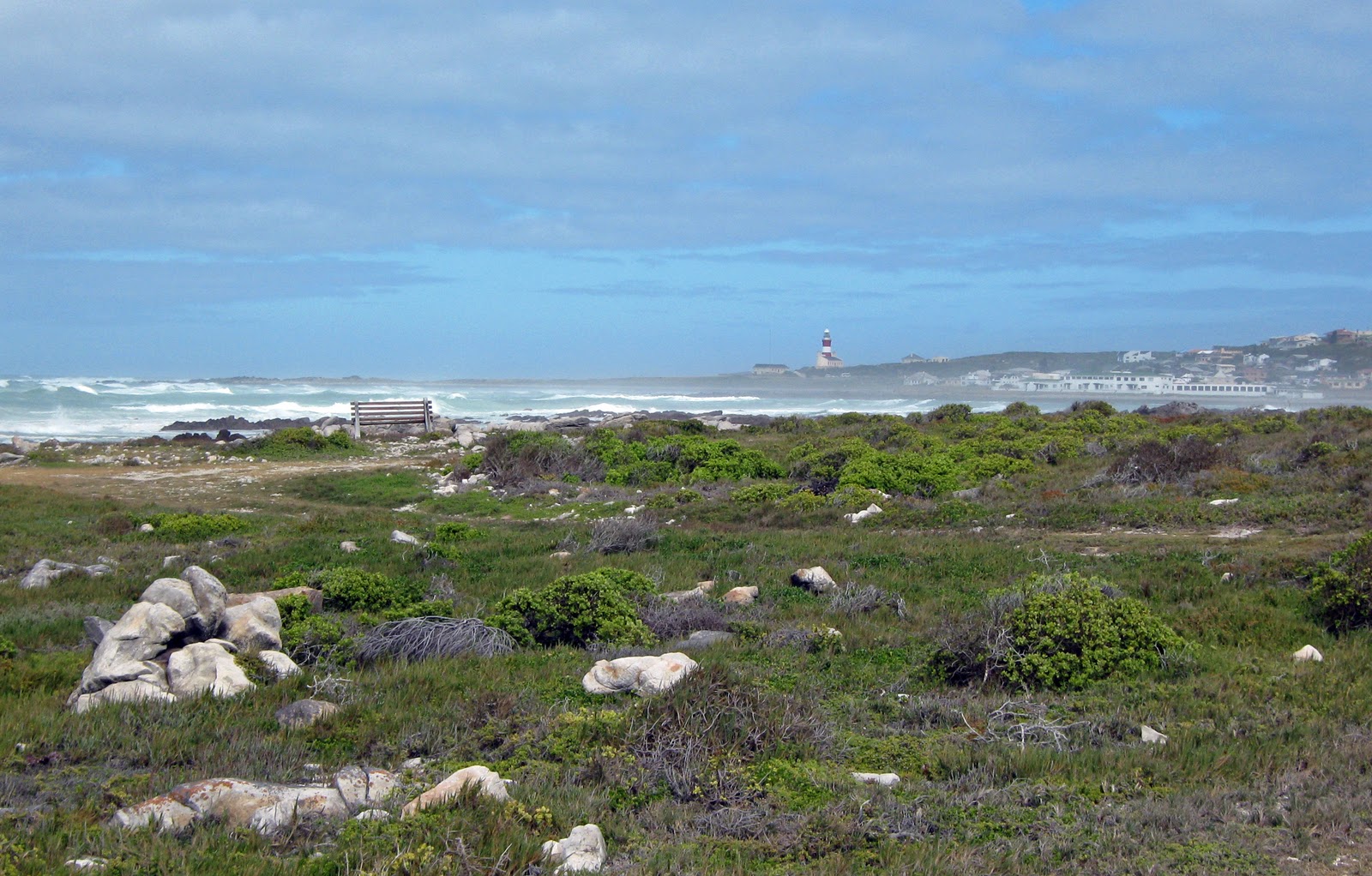
Below are a few photographs from my own fieldwork in the peridotite layer of the Samail Ophiolite in Oman. For my thesis, I am studying the unique ways in which peridotite– which is a mantle rock and does not belong at Earth’s surface– alters when uplifted onto land. In particular, I am studying the formation of carbonate minerals. When peridotite alters, many carbonate minerals (e.g. calcite, dolomite, magnesite) are formed. The carbon dioxide (CO2) in these carbonates comes from the atmosphere. Thus, formation of carbonate minerals in peridotite is a natural process that removes CO2 from the atmosphere and stores this CO2 in solid mineral form. 

Samail Ophiolite 1, Oman, January 2009.
Samail Ophiolite 2, Oman, January 2009.
Samail Ophiolite 3, Oman, January 2009.
Samail Ophiolite 4, Oman, January 2009.
Samail Ophiolite 5, Oman, January 2009.
Samail Ophiolite 6, Oman, January 2009.
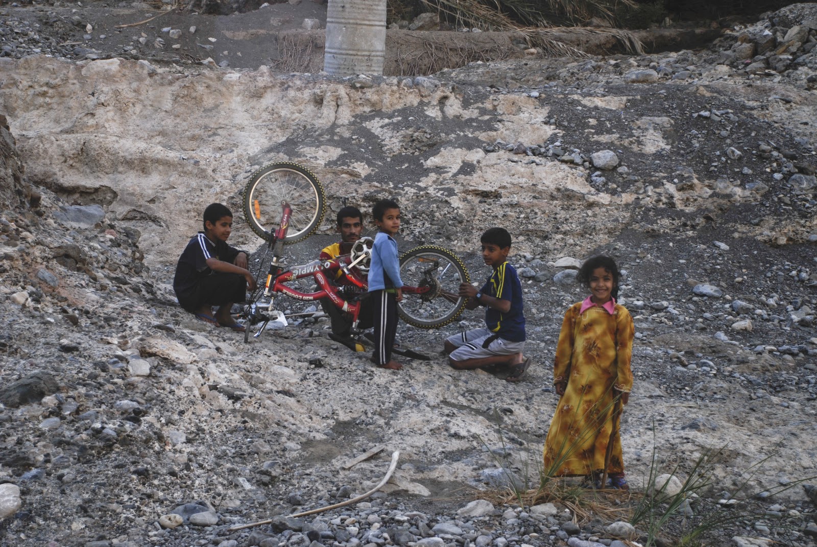
Friendly ophiolite residents, Oman, January 2009.
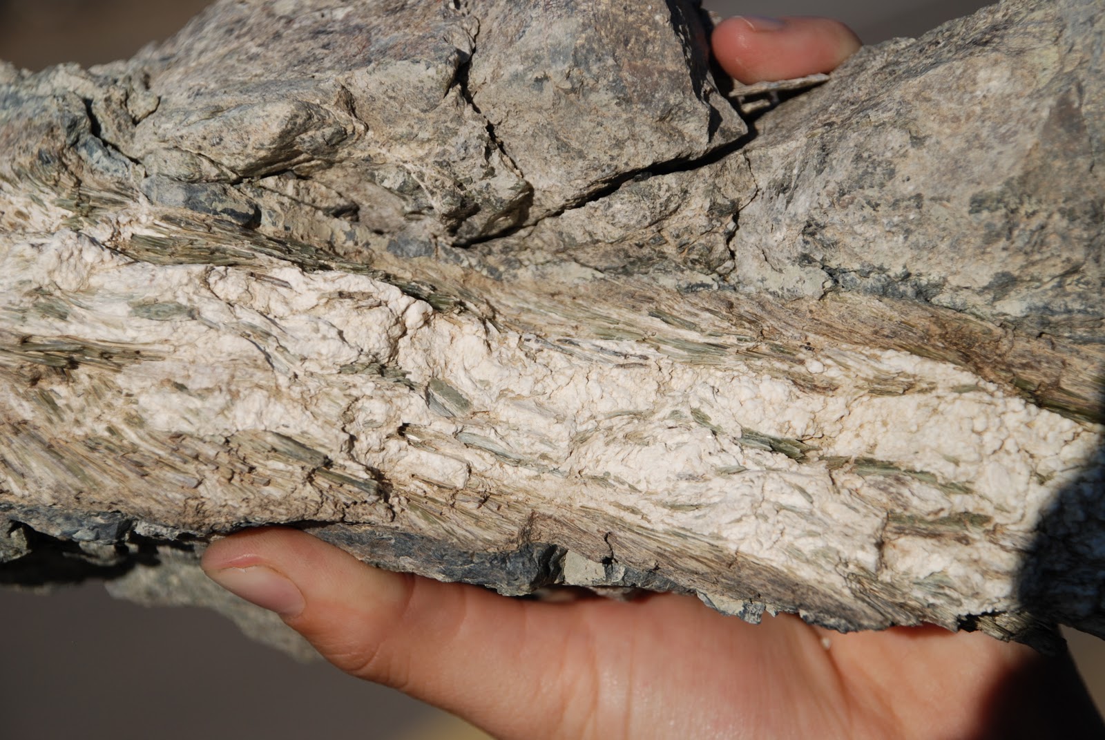
A vein of carbonate (white) and serpentine (green) alteration, Samail Ophiolite,
Oman, January 2009.
Sampling carbonate precipitating from a peridotite spring, Oman, January 2009.
Standing next to a carbonate-filled peridotite spring pool, Oman, January 2009.
Herding goats across peridotite, Oman, January 2009.
Goats and field vehicles, Oman, January 2009.

References: 

Brown and Mussett. 1993. The Inaccessible Earth: An Integrated View of its Structure and Composition. London: Chapman and Hall.

Coleman, R. G. 1981. Tectonic setting for Ophiolite Obduction in Oman. Journal of Geophysical Research, vol. 86, no. B4: 2497-2508.

Hekinian, R. 1982. Petrology of the Ocean Floor. New York: Elsevier Publishing Company.