Sutherland Sky: Part I

The SALT telescope at Sutherland, October 2013.
The SALT telescope. Sutherland, October 2013.

This is the first in what will be a series of posts about my recent visit to Sutherland, a small town in South Africa’s Northern Cape province. In October 2013 my husband Jackie and I visited Sutherland for a long weekend. Sutherland is famous because it is home to the South African Astronomical Observatory (SAAO) research station, which has a number of telescopes that are used for astronomical and astrophysical research. The most famous telescope located at Sutherland is the Southern African Large Telescope (SALT), the largest optical telescope in the southern hemisphere. Jackie and I visited Sutherland as part of a Star Trek club (yes, Star Trek club–  we’re proud Star Trek fans!) event. Along with our fellow Trekkie friends, we toured the SAAO facility. We went on a daytime tour and visited the museum and also some of the large telescopes. Some of us wore Star Trek uniforms/costumes on the tour, and I think (and hope) that we delighted some of the other visitors with our attire. We certainly ended up posing for quite a few pictures! In addition to the daytime tour, we also attended an evening stargazing session during which we peered through some smaller telescopes that have been set up for educational purposes– the big telescopes are reserved for proper scientific research at night.

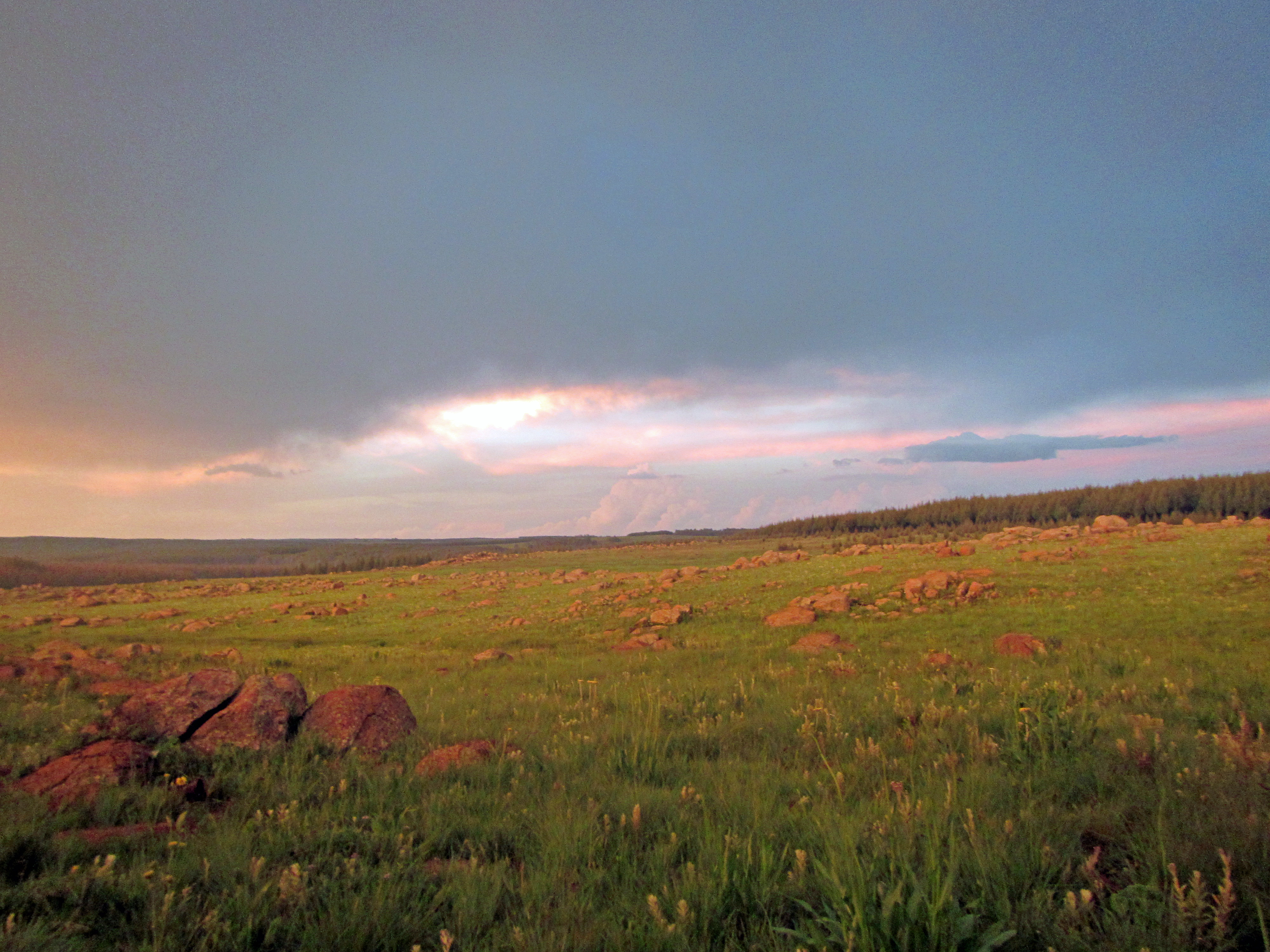
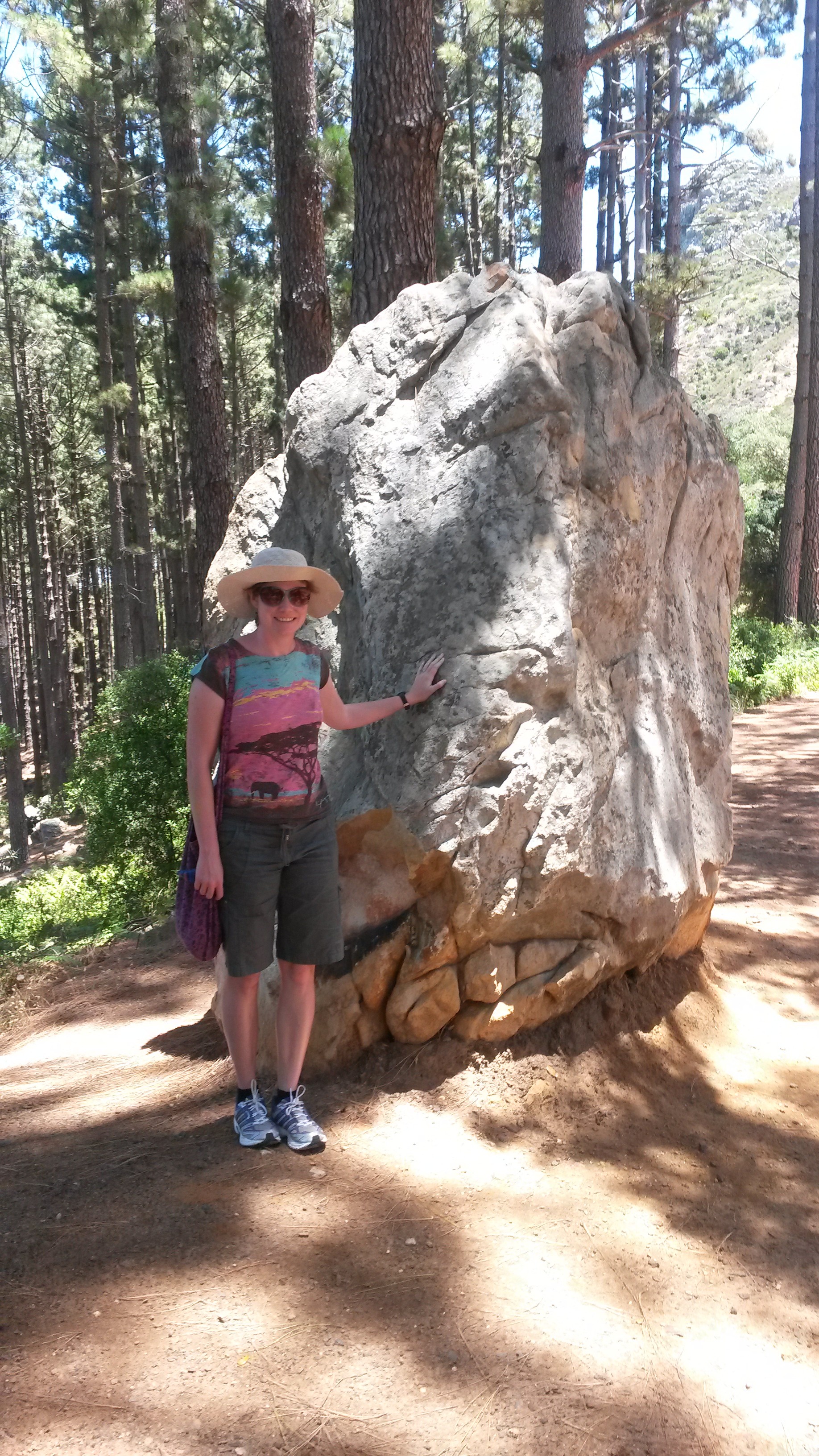
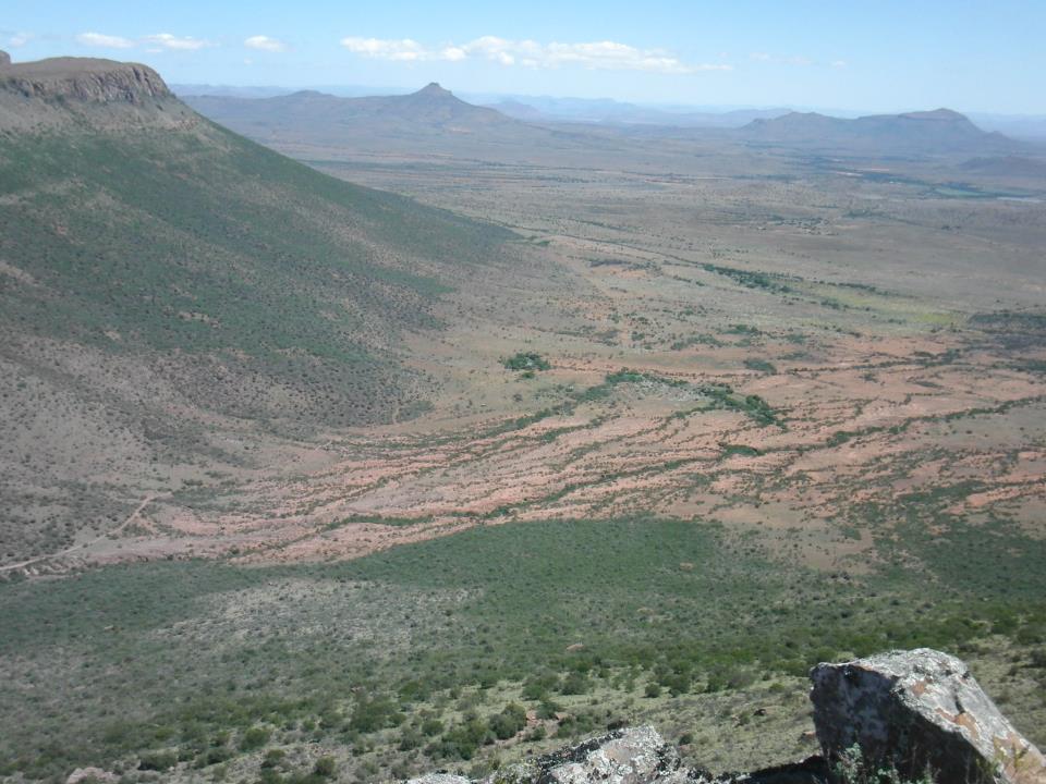
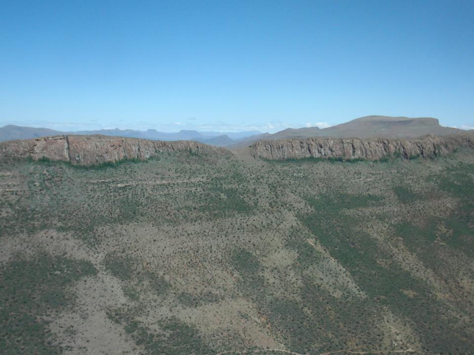
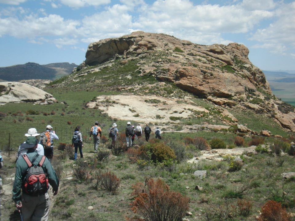
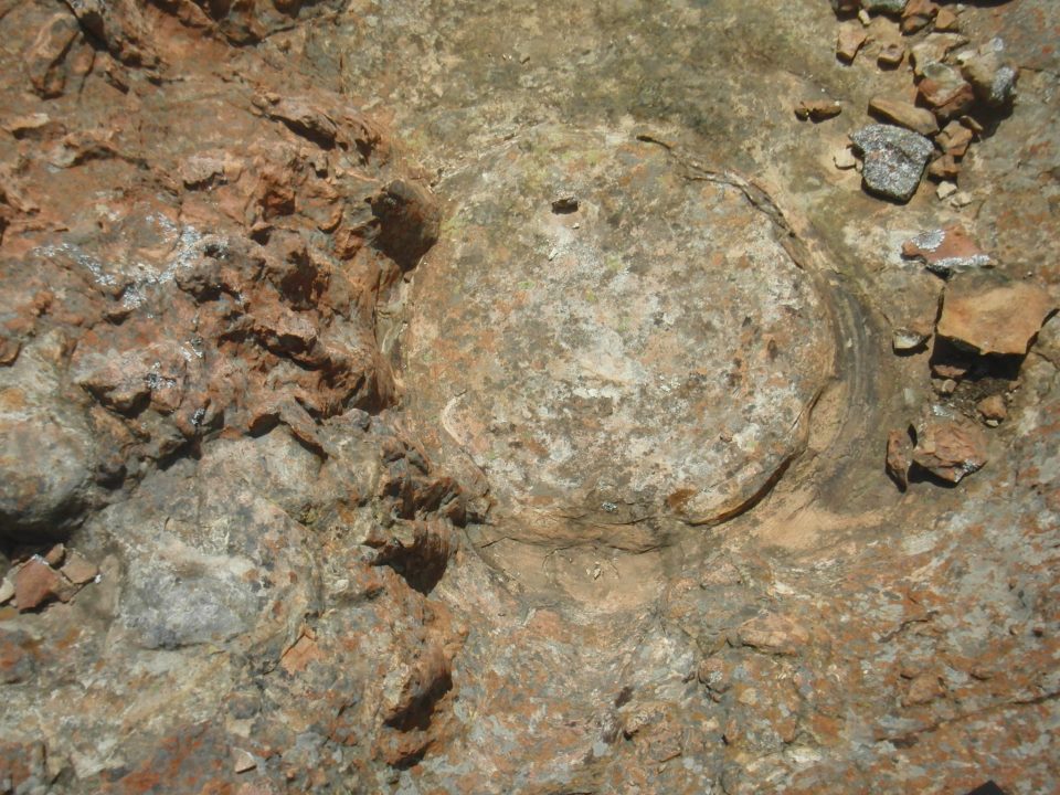
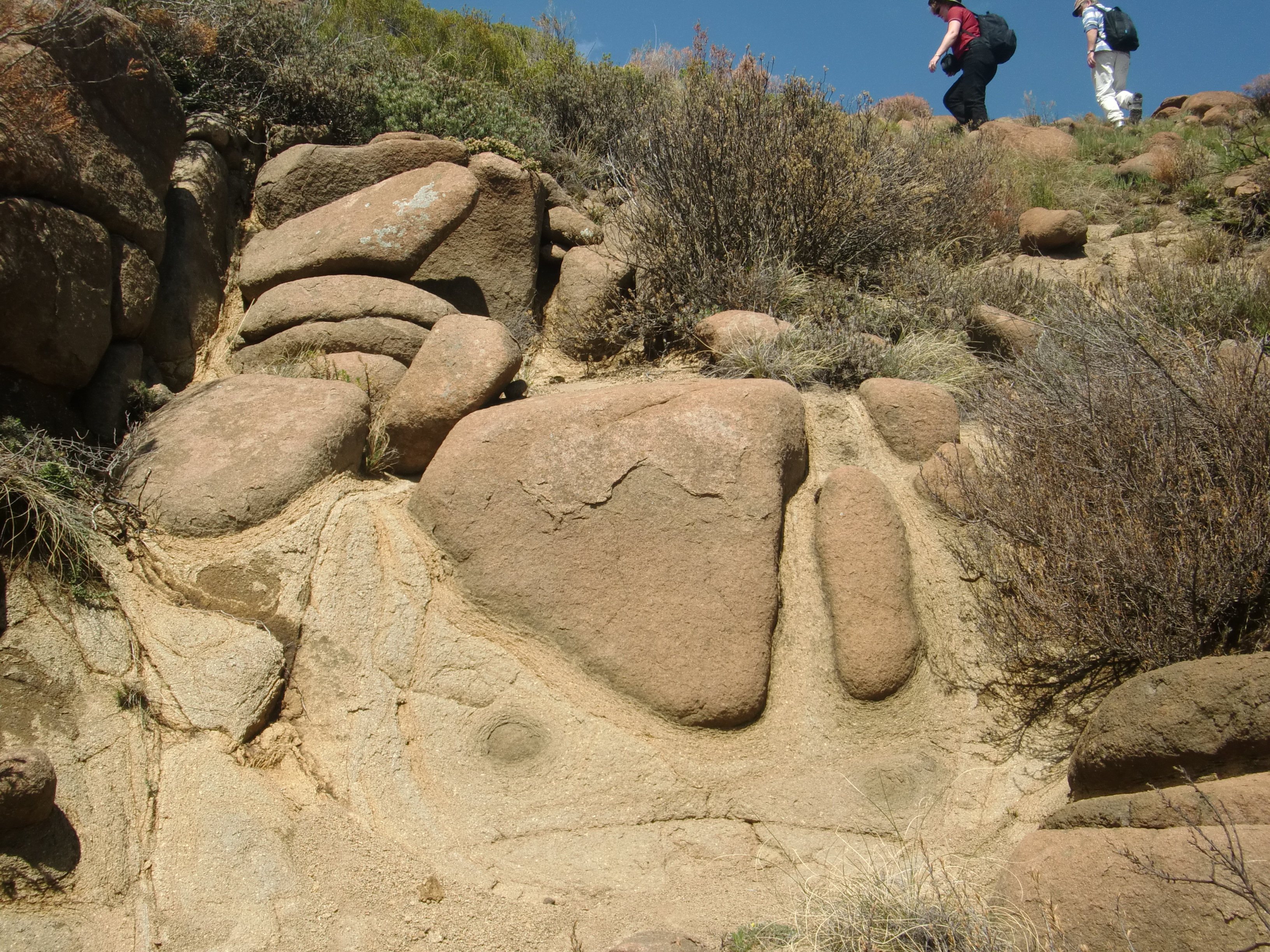
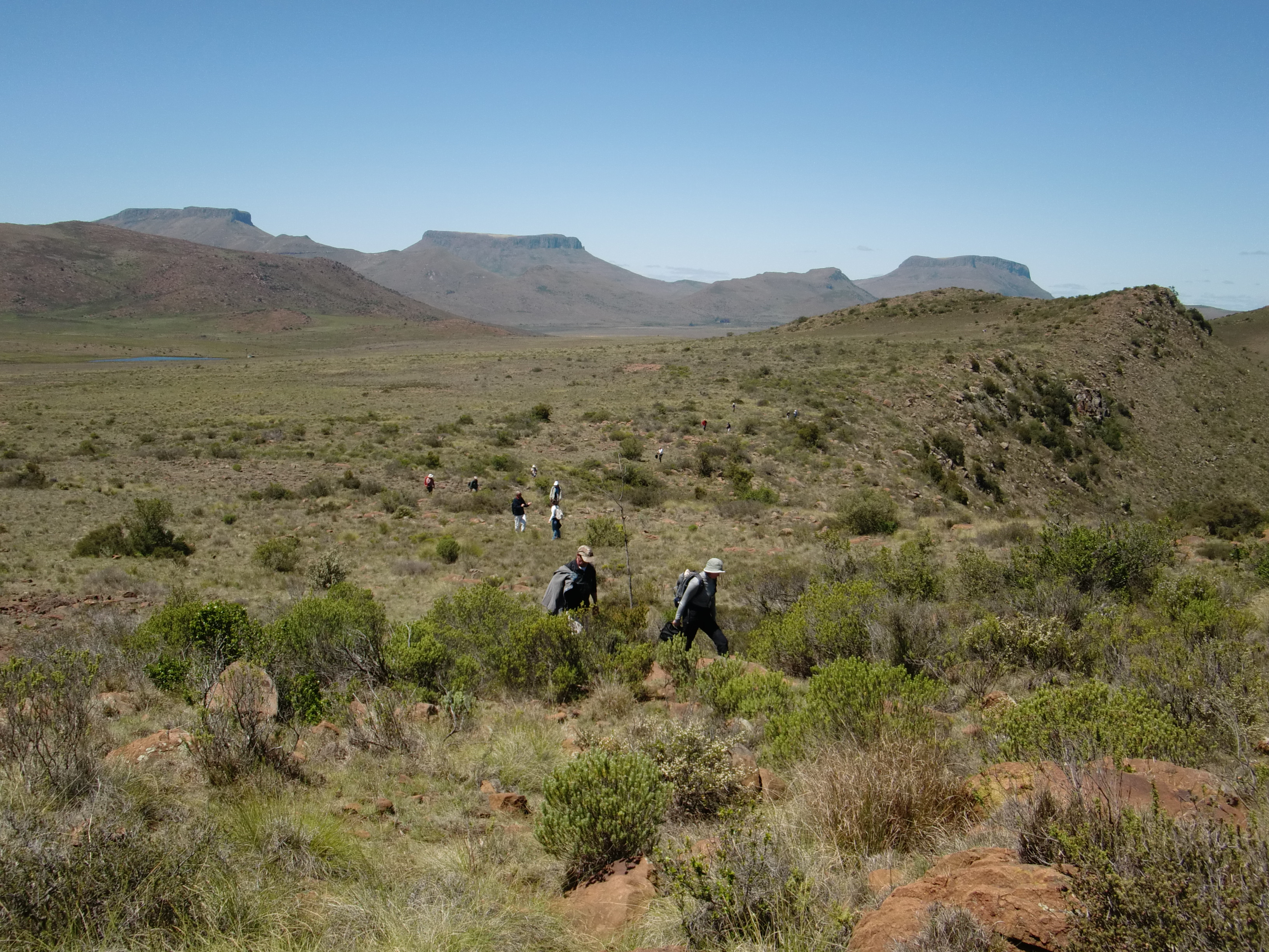
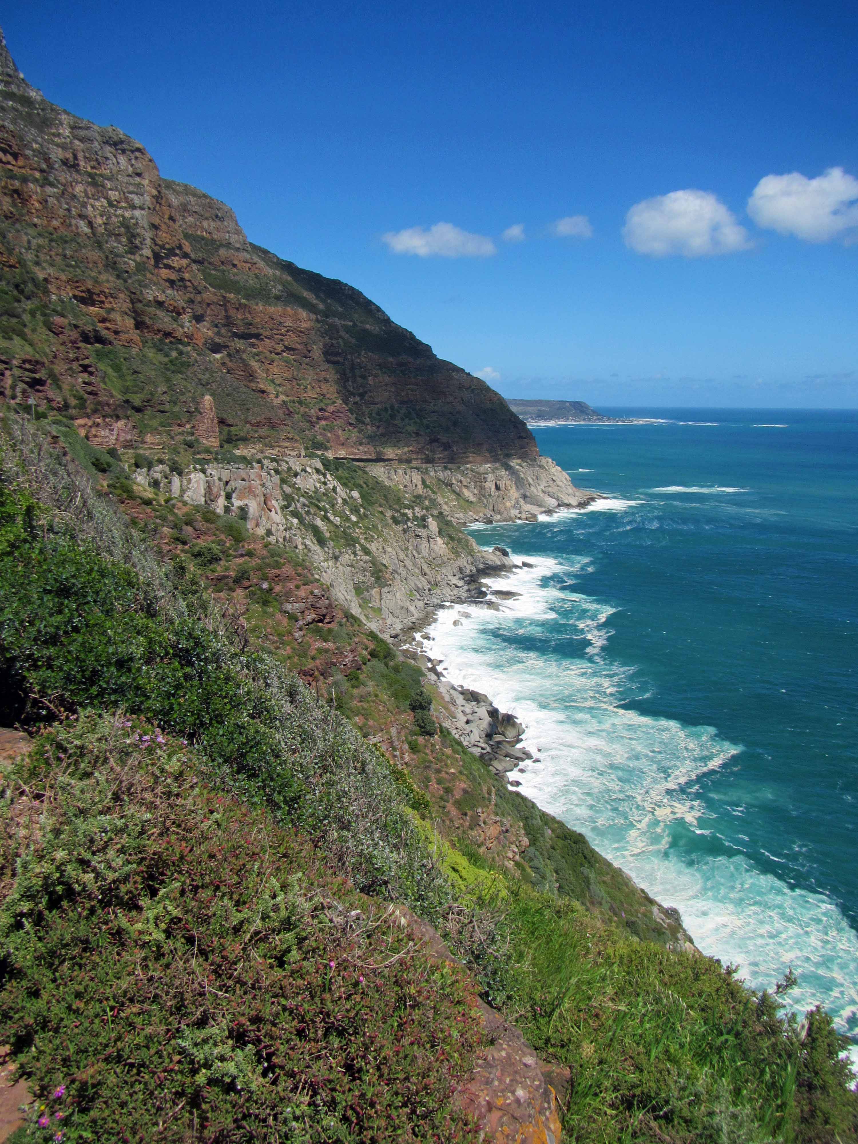
In addition to touring the SAAO research station, Jackie and I also spent some time exploring the wonderful little town of Sutherland. In addition, we spent some time exploring some of the impressive geology that can be viewed along the approximately four hour drive to Sutherland from our home in Cape Town. To reach Sutherland from Cape Town, we drove over the Cape Fold Belt and saw some highly impressive folded and uplifted sedimentary rocks. After we trekked (see what I did there?) across the Cape Fold Belt, we reached the flat, empty roads of the Karoo desert region. During the last two hours of our drive, we only passed one other car. Geologically, the Karoo region is home to the Karoo Supergroup, a stratigraphic unit that covers two-thirds of South Africa and consists of a sequence of sedimentary rocks that are intruded, in many places, by igneous rocks, including some impressive dolerite dikes. The Karoo region is also covered in many places by the Dwyka tillite, which was deposited by widespread glaciation.

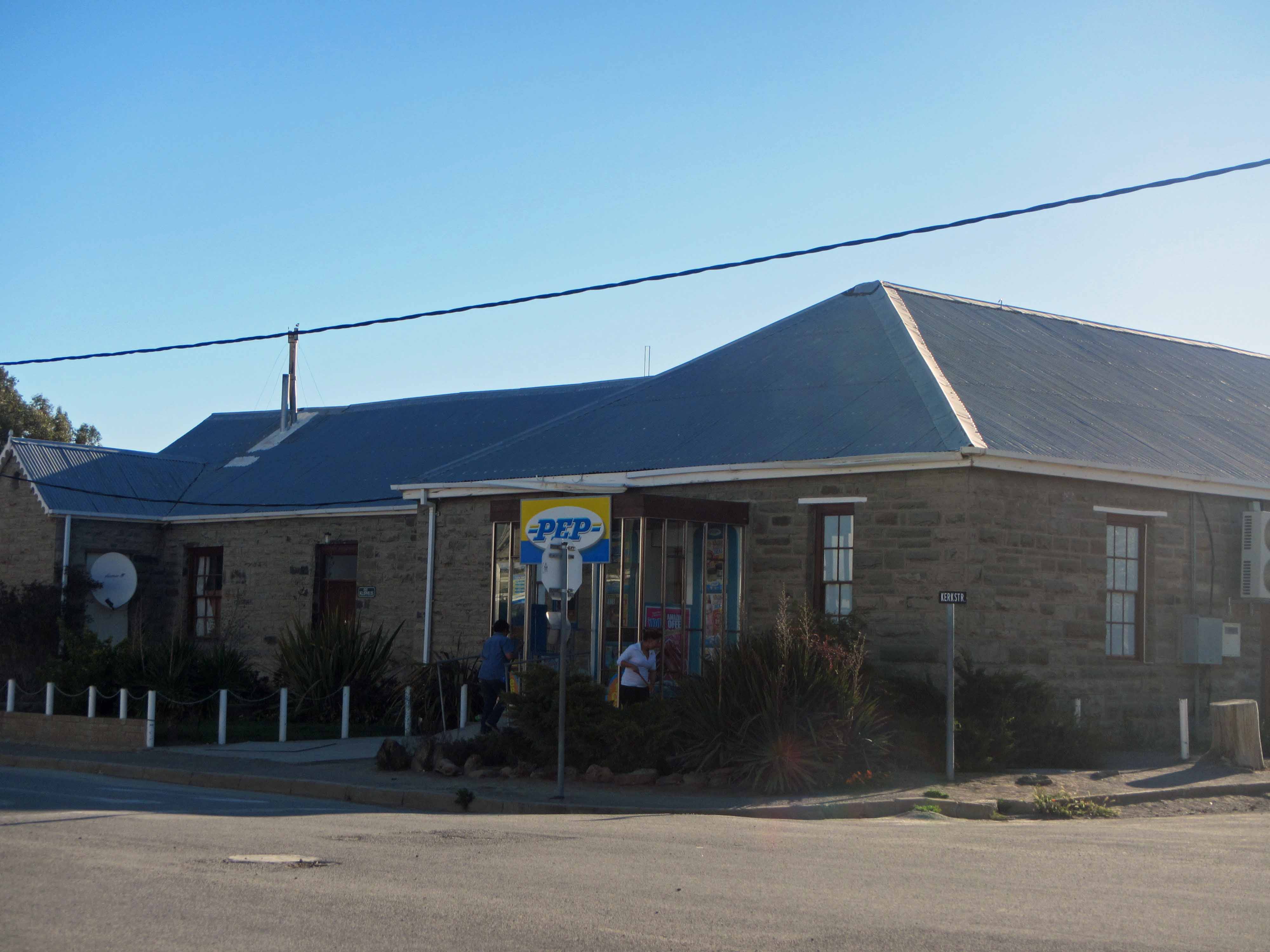
In subsequent posts, I’ll discuss SAAO and SALT and some of the geology that we observed along the way to Sutherland. Today, I want to share a few pictures of the town of Sutherland. At first glance, Sutherland looks like many other small towns in the Karoo. There are small shops, cafes, a restaurant or two, guest houses, schools, and churches– and even the PEP store that is found in most South African towns, both large and small. My husband and I joke that the presence a PEP store, which sells inexpensive clothing and other items, marks the difference between a village and a town in South Africa.

Main Street, Sutherland, October 2013.
Main Street. Sutherland, October 2013.
Another view of Main Street, Sutherland, October 2013.
Another view of Main Street. Sutherland, October 2013.
The Sutherland Mall... for all your shopping needs! Sutherland, October 2013.
The Sutherland Mall… for all your shopping needs! Sutherland, October 2013.
Sutherland's PEP store, October 2013.
Sutherland’s PEP store. October 2013.

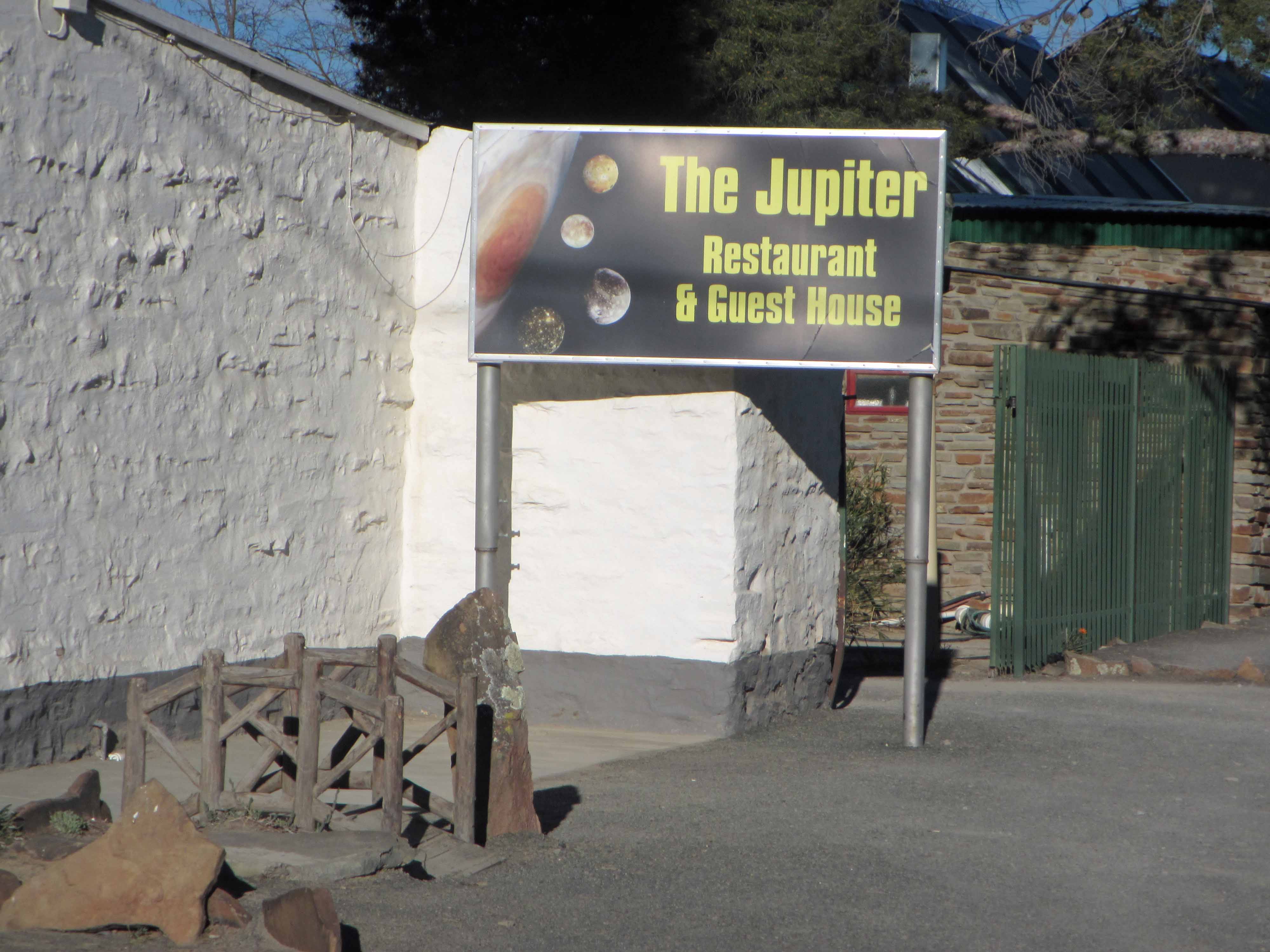
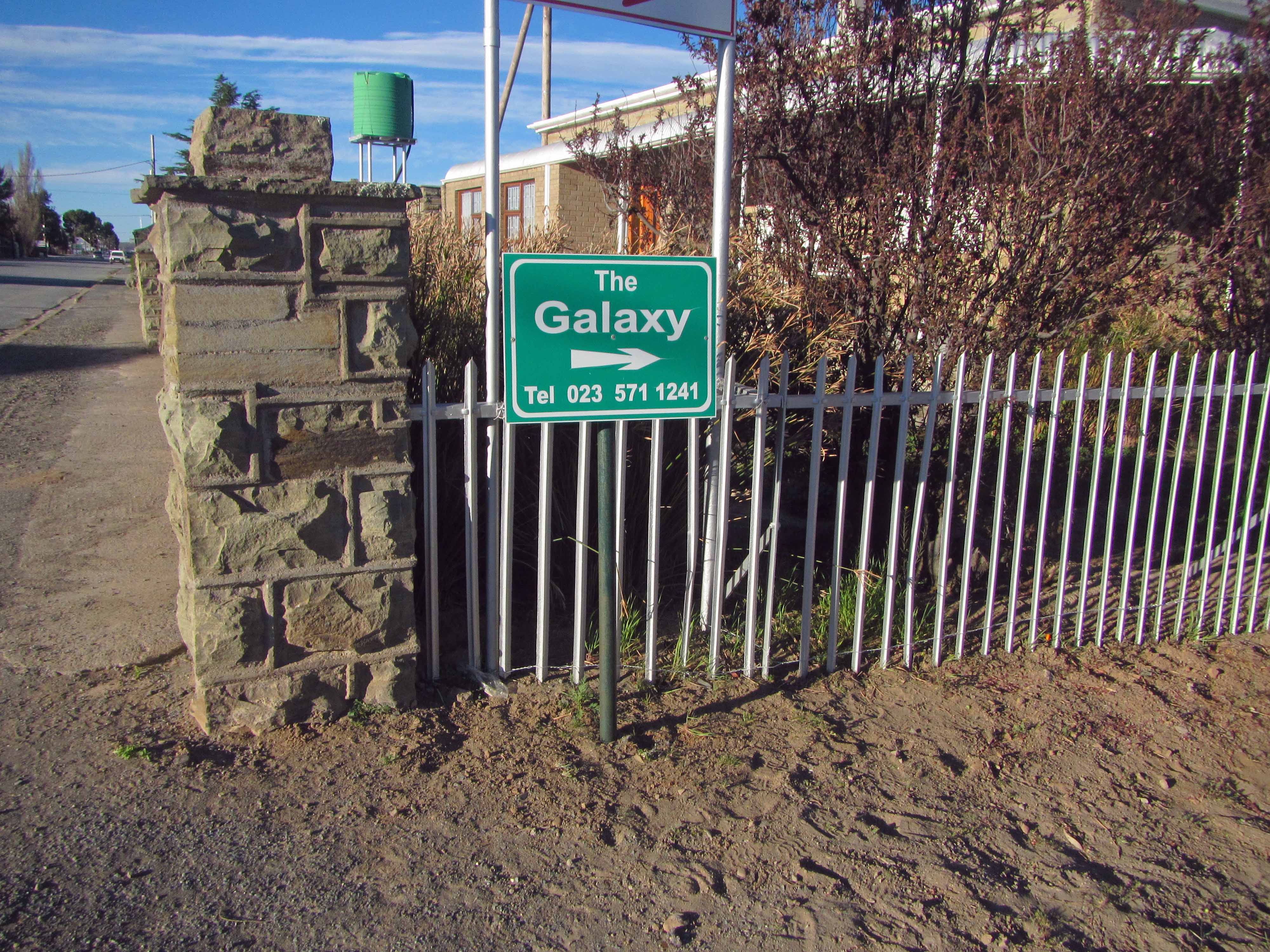
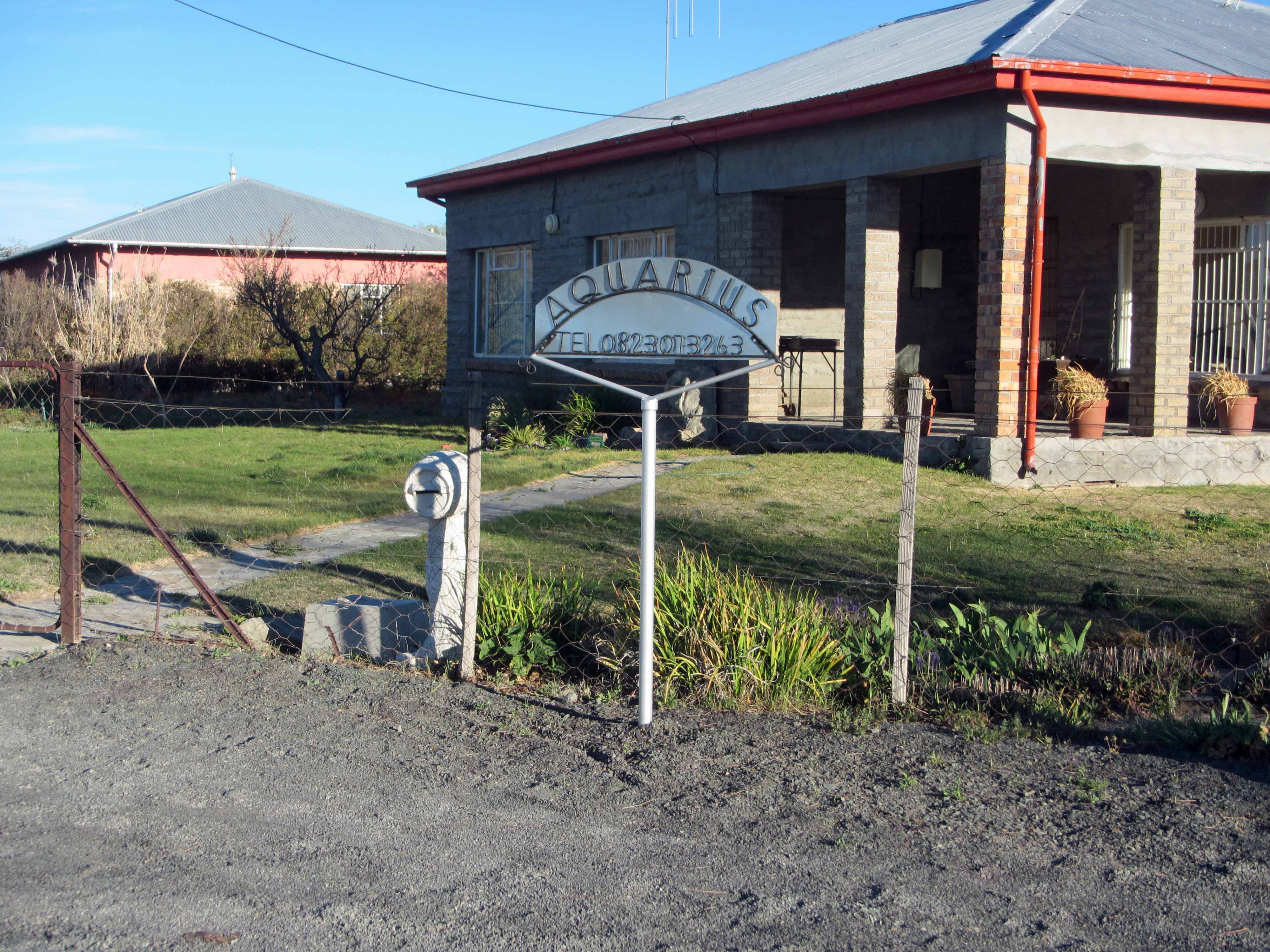
However, after Jackie and I spent some time walking around Sutherland, we quickly realized that Sutherland is no ordinary small town in the Karoo. Rather, the town has a decidedly astronomical flavor. See for yourself:

Sutherland4
Signs for the Jupiter and Andromeda guest houses. Sutherland, October 2013.
Jupiter Guesthouse, Sutherland, October 2013.
Jupiter Guesthouse. Sutherland, October 2013.
Sign for the Skitterland Guesthouse. Skitter means "Sparkle" in Afrikaans. Sutherland, October 2013.
Sign for the Skitterland Guesthouse. Skitter means “Sparkle” in Afrikaans. Sutherland, October 2013.
A sign pointing to The Galaxy. Sutherland, October 2013.
The Galaxy itself. Sutherland, October 2013.
A sign for the Galileo Guesthouse. Sutherland, October 2013.
A sign for the Aquarius Guesthouse. Sutherland, South Africa.
A sign for the Aquarius Guesthouse. Sutherland, October 2013.
A sign for the Kosmos Guesthouse. "Kosmos" is Afrikaans for "Cosmos".
A sign for the Kosmos Guesthouse. “Kosmos” is Afrikaans for “Cosmos”. Sutherland, October 2013.

My favorite example of the astronomical theme found in the town of Sutherland is a cleverly named cafe:

Hailey-sê-kom-eet Cafe, Sutherland, October 2013.
Halley-sê-kom-eet Cafe. Sutherland, October 2013.

The name of the cafe is “Halley-sê-kom-eet”, which has a double meaning in Afrikaans. The cafe’s name obviously refers to the famous Halley’s Comet. In Afrikaans, “Halley’s Comet” is “Halley se komeet”. However, “Halley sê kom eet” means “Halley says come eat”. Adding a little hat above the one e and adding a space turns an astronomical reference into instructions to go eat some delicious Afrikaans food. The instructions worked– Jackie and I ate at the cafe a couple of times during our visit to Sutherland.

Well, that’s all I’ll share in this post. Stayed tuned for more about Sutherland!

Monday Geology Picture(s): More Views of the Shipwreck on Noordhoek Beach, South Africa

Beautiful Noordhoek Beach, February 2014.

A few weeks ago I featured a picture of the S. S. Kakapo shipwreck on Noordhoek Beach in the Cape Town, South Africa, area for my “Monday Geology Picture” post. Yesterday my husband and I took a walk along Noordhoek Beach, which is quite a long beach. Walking from the parking lot at one end of the beach to the shipwreck at the other end of the beach takes about an hour at a leisurely pace. For this week’s “Monday Geology Picture” post I thought I would share a few more pictures of the Noordhoek Beach shipwreck. Enjoy!

The SS Kakapo shipwreck from a distance, February 2014.
The S. S. Kakapo shipwreck from a distance, February 2014. There is also a spectacular cloud in the sky.
Approaching the shipwreck, February 2014.
Rusty remains, February 2014.
More rusted remains, February 2014.
More rusty remains, February 2014.
A close-up view of the rusty remains of the boiler, February 2014.
Another view of the rusty boiler, February 2014.
Ship skeleton on the sand, February 2014.
A rusted pillar in the sand, February 2014.
A rusted ship sculpture in the sand, February 2014.

Monday Geology Picture: Shipwreck on Noordhoek Beach, South Africa

The S. S. Kakapo shipwreck on Noordhoek Beach.

Sometimes, manmade objects become part of the geological landscape. For example, on Noordhoek (which means “North Corner”, in Dutch and Afrikaans) Beach near Cape Town, South Africa, there is a shipwreck at one end of the beach. Two rusted boilers and a ring of metal ribs– sticking up out of the sand like a picket fence– are all that remain of the S. S. Kakapo, a New Zealand steamship that became stranded on the beach in 1900. You can read all about the wreck of the S. S. Kakapo here. In this Anthropocene time discarded manmade objects no doubt have a big impact on the Earth and its various processes. While the remains of the S. S. Kakapo likely have a fairly small impact on the environment, the skeletal shipwreck nonetheless reminds me of the traces we humans leave behind. 114 years after the shipwreck, the ghostly metal outline of the S. S. Kakapo remains.

Monday Geology Picture(s): Oudekraal Beach, South Africa

A stunning location for a birthday.
A stunning location for a birthday party. In this picture my friend Kaylee and I check out some of the giant granitoid boulders by kayak.

Yesterday was my 30th birthday. Amongst other wonderful things, my husband Jackie organized a surprise birthday party for me at Oudekraal, a beautiful beach (and national park) here in Cape Town. Bordered on one side by gigantic boulders and turquoise-blue waters and flanked on the other side by tall, jagged, gray-green mountains, Oudekraal is a stunning location. Jackie rented a kayak, brought plenty of delicious picnic food, and invited many good friends for my party. The weather was beautiful, and we all had a great time. I’d never been to Oudekraal Beach before, but I hope to return soon!

Here are a few more views of gorgeous Oudekraal:

Anohter view of stunning Oudekraal.
Exploring the bay near Oudekraal Beach.
A jagged mountain range .
Jagged mountain peaks.
A seal came to visit! We saw several seals, actually.
DSC_1032
A closer view of the seal. Hello!

Monday Geology Picture: Dullstroom Boulders

Boulders in a field in the late evening, Dullstroom, South Africa. Picture taken December 2013.

For this week’s “Monday Geology Picture” post I thought I’d share a picture from my trip to Dullstroom in Mpumalanga, South Africa, a few weeks ago. I took this picture as we were driving late one evening, just before sunset. I didn’t take a close look at the rounded boulders dotting the field, but they are probably granitoids or possibly dolerites. Although don’t take my word on that– it’s difficult to identify rocks when driving by them rather quickly!

Constantia Nek Walk in Pictures

Below are a few more pictures from a recent walk along the Constantia Nek contour path here in Cape Town. I featured a picture from this same walk in this week’s “Monday Geology Picture” post.

A view of some of Cape Town's winelands. Picture taken December 2013.
A view of some of Cape Town’s winelands. Picture taken December 2013.
Yours truly posing with a boulder of Table Mountain Group quartzite. Picture taken December 2013.
A pretty red flower along the path. Picture taken December 2013.

I feel very fortunate to live in a city that has many beautiful walks and hikes. I’ll do my best to explore some more of them– and re-visit some old favorites– in 2014.

Monday Geology Picture: Two Little Landslides on Table Mountain

Two debris slides on Table Mountain. Picture taken December 29th, 2013.
Two little landslides on Table Mountain. Picture taken December 29th, 2013.

Yesterday my husband and I took advantage of the sunny summer weather here in Cape Town and went for an easy walk along Constantia Nek, a contour path along Table Mountain that eventually leads to the beautiful Kirstenbosch Gardens. Along the walk, I noticed a few small landslides on Table Mountain, including the two shown in the picture above. If you’re looking for an easy and beautiful hike in the Cape Town area, I recommend Constantia Nek. There’s some interesting geology to see along the way… including, at the moment, some landslides.

LASI V Field Trip in Pictures

I’ve been meaning for months to post some pictures from the LASI V Field Trip that I participated in just over a year ago in November 2012. However, despite my best intentions, I never ended up posting some field trip pictures. This is primarily because I lost all of my own LASI V field trip pictures when my laptop and a hard drive were stolen from my apartment back in April. I was quite upset about this and have now diligently backed up all of my computer data online as well as on multiple hard drives. Fortunately, my fellow field trip participants Ben Manton and Stephanie Scheiber were kind enough to send me some of their pictures to share with you here on Georneys.

In the interest of wrapping up a few things here on Georneys before the end of the year, I thought I’d (finally!) share some pictures from the LASI V field trip. You can find my previous posts about LASI V here. A good introductory post about LASI V is here. In brief, the LASI V workshop was a gathering of geologists from around the world to discuss the geology of subvolcanic systems such as sills, dykes, and laccoliths. The field trip went to several places in South Africa’s Karoo region to look at large dolerite sills, hydrothermal vent complexes, and other subvolcanic features which have intruded into various sedimentary units.

Without futher ado, here are some pictures from the LASI V field trip:

Sills on top of a hill, with termite mounds in the foreground. Picture courtesy of Ben Maton.
Dolerite sills on top of a hill, with termite mounds in the foreground. Picture courtesy of Ben Manton.
On top of a sill in the Golden Valley region. Picture courtesy of Ben Maton.
The view from the top of a dolerite sill in the Golden Valley region. Picture courtesy of Ben Manton.
Sills in Golden Valley. Picture courtesy of Ben Maton.
Impressive dolerite sills in Golden Valley. Picture courtesy of Ben Manton.
A beautiful view in the Karoo. Picture courtesy of Ben Maton.
A beautiful view in the Karoo. Picture courtesy of Ben Manton.
Whitkop feature. Picture courtesy of Ben Maton.
Whitkop, a hydrothermal vent feature.  Whitkop means “white head” or “white little hill”. Picture courtesy of Ben Manton.
Fluid flow features on Whitkop. Picture courtesy of Ben Maton.
Fluid flow features on Whitkop. Picture courtesy of Ben Manton.
Circular pipe structures in the Whitkop hydrothermal vent. Picture courtesy of Ben Maton.
Circular pipe structures on Whitkop. Picture courtesy of Ben Manton.
Group hiking up a steep slope. Picture courtesy of Ben Maton.
Checking out some geology (spherical weathering, among other things) on a steep slope. Picture courtesy of Ben Manton.
Another beautiful view in the Karoo. Picture courtesy of Ben Maton.
Another beautiful view in the Karoo. Picture courtesy of Ben Manton.
Impressive spheroidal weathering of a dolerite sill. Picture courtesy of Stephanie Scheiber.
More spheroidal weathering. Picture courtesy of Stephanie Scheiber.
Dwyka tillite, one of my favorite rocks! Picture courtesy of Stephanie Scheiber.
Another view of Dwyka tillite. Picture courtesy of Stephanie Scheiber.
A hydrothermal vent complex... with cows. There are many. many cows and sheep in the Karoo! Picture courtesy of Stephanie Scheiber.
A hydrothermal vent complex… with cows. There are many. many cows and sheep in the Karoo! Picture courtesy of Stephanie Scheiber.
A windmill in the foreground, a dolerite sill in the background. Picture courtesy of Stephanie Scheiber.
A windmill and termite mounds in the foreground, dolerite sills in the background. Picture courtesy of Stephanie Scheiber.
Geologists amongst the dolerite sills. Picture courtesy of Stephanie Scheiber.

Monday Geology Picture: Chapman’s Peak Nonconformity, South Africa

Chapman's Peak Nonconformity, September 2013.
Chapman’s Peak Nonconformity, September 2013.

This week I thought I’d share a picture of my favorite nonconformity: the nonconformity between the ~550 million year old Cape Granite and the ~450 million year old Table Mountain Sandstone Group here in the Cape Town area. This famous viewpoint of this famous nonconformity is located along the Chapman’s Peak Drive. Can you spot the nonconformity? Once you’ve had a look, check out this previous post in which I explain the nonconformity in detail.

Tsitsikamma Trail – Day #4

Early morning on the hike out.

Today I’ll be discussing the fourth and final day of my recent backpacking trip along the Tsitsikamma Trail with my husband Jackie and five of our friends. I’ve already blogged about Day #1, Day #2, and Day #3. On Day #4 we hiked 11.5 km from the Kerbous Hut to the Lottering Plantation, where we had parked one of our cars.

Hiking the full Tsitsikamma Trail actually takes six days. So, we hiked to the Lottering Plantation along a dirt road “escape route” that is used by forest rangers to take care of the trees on the plantation and also to service the Kerbous Hut and check on the hikers staying there. The road may also be used during rainstorms, when rivers and streams may flood and hikers may need to cut their backpacking trip short. However, we cut our trip short on purpose as we had only planned to hike for four days.

Since we had a long drive back to Cape Town (and many of us had to work the next day!), we woke up very early on our last day and started hiking at dawn. We actually hiked all 11.5 km before 10 am! We made much better time than we expected, probably because most of the hike was along a wide dirt road. Also, after we survived a couple of hours of uphill climbing, the rest of the hike was mostly downhill.

The plantation staff looked slightly surprised to see us arrive so early. After a few minutes of picture taking and relaxing, we ran shuttle to fetch the second car and then started the long seven hour drive back to Cape Town.

Here are a few pictures from our hike out to the Lottering Plantation:

Another stunning early morning view.
A stunning early morning view, looking back on the Tsitsikamma Mountains.
A pretty black bird.
Walking amongst the pine trees.
Pine trees and uplifted sandstone.
Making our way along the dirt road.
Another coca-cola colored stream.
Tall pine tree sentinels along the dirt road.
Tall pine trees along the dirt road.
The plantation buildings! We arrived a little before 10 am.
A closer look at the plantation buildings.
A closer look at some of the plantation buildings.

Here’s the group at Lottering Plantation at the end of the hike:

Tired but happy hikers after four days on the Tsitsikamma Trail.

I really enjoyed this backpacking trip. The trail is well maintained and organised and winds its way amongst some impressive geology and vegetation.
The huts where we stayed were very comfortable, and it was great that we didn’t have to carry tents and heavy cooking equipment.

If you find yourself in South Africa, I highly recommend spending a few days hiking along the Tsitsikamma Trail! If you’re not up for all six days, you can arrange a two or three or four day hike or even a single day hike.