Interesting Search Terms That Found My Blog

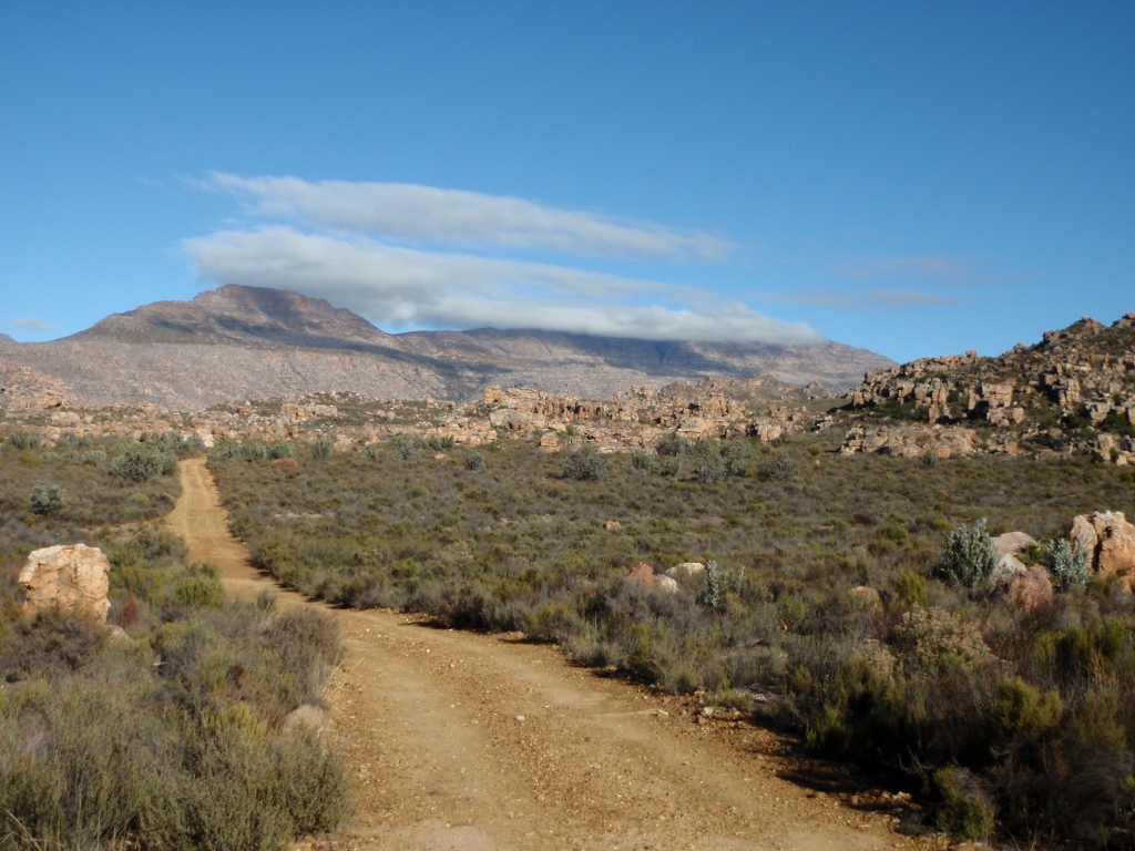
For the past little while, I have been keeping track of some interesting search terms that found my blog. These are just a sampling of ones that I happened across. I’ve put some “answers” below the search terms. Hope you enjoy. Happy Friday!

what is at the center of any self respecting volcano (4/5/11)
Answer: The lair of a mad scientist.

is jurassic park too scary for 8 yr old (4/6/11)
Answer: My grandmother took me to see Jurassic park in theaters when I was 9 years old, and I was very, very scared and had nightmares about velociraptors. However, the movie also helped inspire my interest in geology & dinosaurs.

synonym: hot liquid that come from tsunami in japan  (4/6/11)
Answer: Oil and gas that caught on fire? The only thing worse than a tsunami is a tsunami ON FIRE.

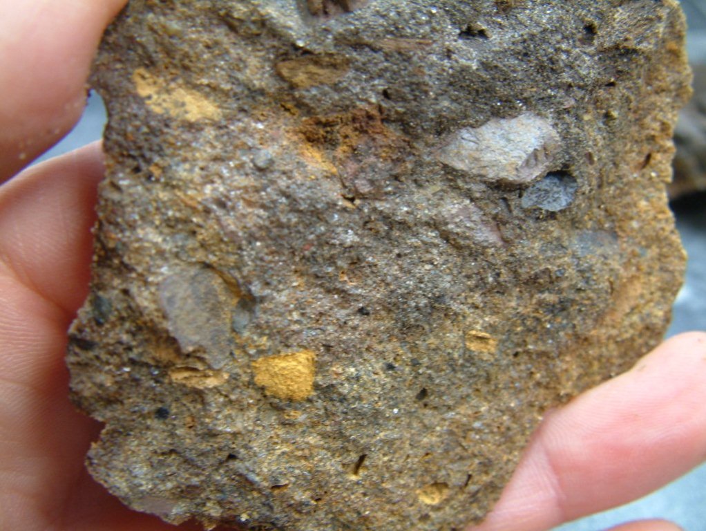
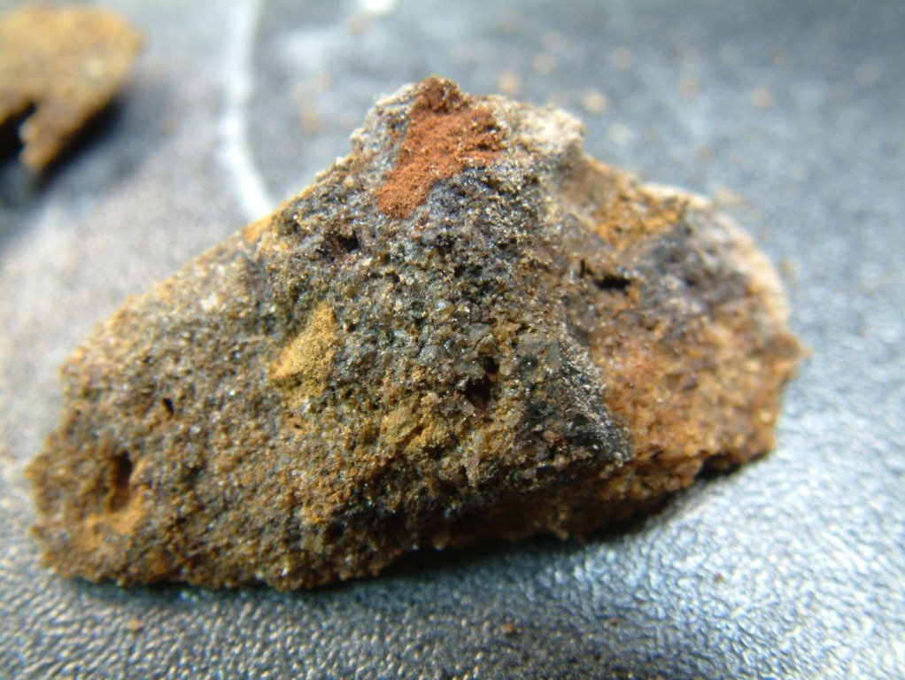
what is komatiite used for today (4/8/11)
Answer: Many komatiites are mined for diamonds.  D’oh, that would be kimberlites. Thanks for the correction, Chuck. More here.

is there a volcano in japan (4/9/11)
Answer: Yes. Many, actually.

dress code geology convention (4/10/11)
Answer: Recommended dress code for a geology convention is a t-shirt with a dinosaur and/or a geology pun on it, hiking pants, and teva sandals with socks.

dress code for geologists (4/27/11)
 Answer: See above.

best reporting on fukushima (4/11/11)
Answer: My blog? Maybe? I’m honored that this search reached my blog.

bee bop the bear (4/11/11)
 Answer: Is the general exam bear! And I’m not the only one who thinks he’s a bear. Yay!

can average students become great scientists (4/12/11)
Answer: Yes. Absolutely.

why do geologists hate the core movie (4/17/11)
 Answer: Well, I’d define it as more of a love-hate relationship.

cimarec hot plate, error message (4/18/11)
Answer: I bet you hate Cimarec hotplates, too. I have no idea what the f**k the error messages mean. And I’ve read the manual ten times.

mit lab fire hot plate (4/27/11)
Answer: Yes, crappy (probably Cimarec) hot plates can cause fires. And melt valuable samples.

blatt and tracy, petrology: igneous, sedimentary and meta (4/19/11)
Answer: Obviously, you want to see cute pictures of  my cats.

are the lithosphere and crust the same (4/19/11)
Answer: No.

low budget movie about a volcano (4/29/11)
Answer: I recommend Magma: Volcanic Disaster.

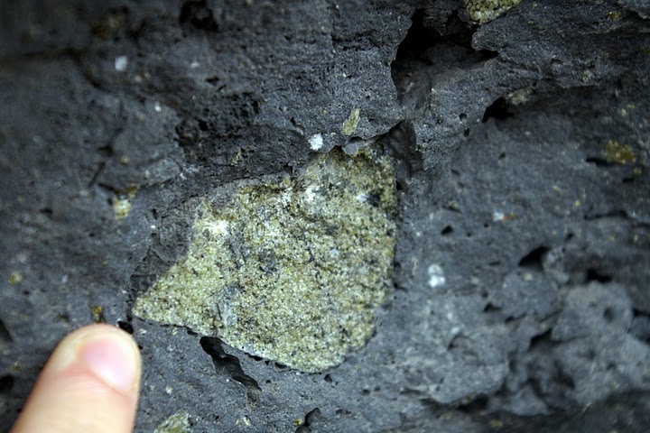
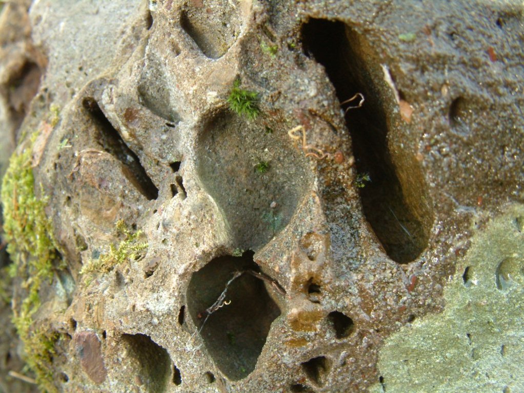
how do vesicles form? geology (4/29/11)
Answer: This might be helpful.

nonfiction geology novels (4/29/11)
Answer: Pssst… novel = fiction. 

travertine bathroom pictures (5/1/11)
Answer: Here’s more than you ever wanted to know about travertine.

most cluttered offices (5/7/11)
Answer: Yes, my office is a bit cluttered… but that’s just related to my brilliance. Maybe.

whoi general exams difficult (5/10/11)
Answer: Yes and no. But Bee-Bop helps.

hamsters move the tectonic plates (5/8/11)
Answer: Say what???

what composition is the mantle felsic (5/9/11)
Answer: No. Ultramafic. 

have people died at geo field camp (5/14/11)
Answer: Probably. But geo field camp is awesome! Take a wilderness first aid class if you’re worried. Actually, I highly recommend that for all geologists.

small picture of eating raccoon (5/15/11)
Answer: Is a jungle raccoon eating pizza okay?

honnybees interact with the lithosphere (5/17/11)
Answer: Say what???

alternate careers for geologists (5/17/11)
Answer: Why on Earth would you want an alternate career? Being a geologist rocks. Actually, I’ve had days when I’ve considered alternate careers, too.

beep bop break dancing (5/19/11)
Answer: I’m sorry that you were looking for information about break dancing and instead found information about PhD qualifying exams.

card games for 2 people (5/19/11)
Answer: No idea why this search reached my blog. I don’t have any posts about card games, but here’s one about the most awesome car game ever.

geologists name for the first continent (5/19/11)
Answer: Vaalbara, maybe?

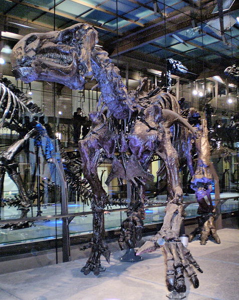
iguanodon poem (5/19/11)
Answer: Yes! I happen to have one of those.

Geology Word of the Week: Y is for Yardang

Yardangs 1. Photo courtesy of Michael Welland.

Cross-posted at Through the Sandglass

def. Yardang (also sometimes: jardang):
An elongated erosional landform, commonly found in deserts, resembling the hull of an inverted boat. Similar to sand dunes, yardangs typically have a tall, steep side facing the prevailing wind direction and slope gently down away from the wind. Yardangs are formed when looser material is eroded away (primarily by the wind and particle abrasion), leaving behind more consolidated material that is then sculpted into strange, ship-like shapes by further erosion. Yardangs most commonly form in soft rocks such as siltstone and sandstone (rocks commonly found in deserts) but can also form in harder rocks in places where the wind is the primary erosional force. The word yardang is of Turkish origin coming from the word “yar” which means “steep bank or precipice.” According to the Oxford English Dictionary, the word yardang was first introduced to the English language in 1904 by the Swedish explorer Sven Anders Hendin.

I had actually never heard of the word “yardang” until quite recently. Earlier this year I wrote to Michael Welland, author of the book Sand: The Never-ending Story and the Through the Sandglass blog, and asked him if he had any pictures of nabkhas for my “N is for Nabkha” word of the week. Michael wrote back promptly and sent me a beautiful picture of some nabkhas in Namibia. He also told me that he had some great yardang pictures for when I reached the letter Y. 

Well, I’ve finally reached the letter Y, and Michael has been kind enough to send me some pictures of yardangs and also some musings on these strange desert landforms. Both the pictures and the musings are below. Thanks so much, Michael!

Yardangs 2. Photo courtesy of Michael Welland.
Yardangs 3. Photo courtesy of Michael Welland. Click to enlarge.
Yardangs 4. Photo Courtesy of Michael Welland. Click to enlarge.

Michael’s Yardang Musings:
In the distance, in the morning desert sun, would seem to be herd of great beasts, grazing on the sand. They are, like all good herds, all facing in the same direction, but barely moving. On closer inspection, they are, of course, not moving at all and are completely inanimate clay and silt – but herd would still seem to be the right collective noun for yardangs. Yardangs. For once, a piece of geo-terminology that seems right, exotic but with a vague and indefinable animate sound to it that suits these things – “a yardang can go for days without water.”

They cluster together in a slight depression in the landscape, in all likelihood an old lake bed in which their clay and siltstone were deposited. The lake dried up as the climate changed, bringing with it the desert, the sand, and the wind. And the sand and the wind conspired as a great sculptor, sand-blasting the softest sediment, liberating the rough forms of the harder rock. The abrasional power of the sand is greatest within a meter or so of the ground, the height of flying grains in a sandstorm limited by the physics that Ralph Bagnold set out. And the sculpting takes place in the face of the prevailing wind, the face of the rock heading into the wind receiving the fiercest blasting, eddies and the slipstream chipping away in its lee. So these things explain some of the forms of the yardangs – the front face undercut to the maximum height of the strongest sandblast, leaving the “head” above. The result is, of course, reminiscent of the Great Sphinx, and romantic speculators like to think of yardangs as the inspiration for the iconic monument. Just as the Sphinx was for so long draped and buried in the sand, so the yardangs  are draped in the debris of their deterioration, and drifts of sand pile up against their flanks. But they are simply the inevitable result of aeolian processes – they are all facing the same way because they are facing into the prevailing wind, their shapes are determined by the interplay between the physics of flying sand and the varying resistance of the rocks that are in its way.
So far, so good – but think about them some more, and yardangs have their mysteries. Why are they spaced out the way they are? Some intrinsic depositional variation in the old lake sediments? Or is there some feedback going on here, one yardang influencing the flow of the wind so as to preclude another one developing within some critical distance? And, while I talked blithely about “eddies and the slipstream” chipping away in the lee of the front face, what does this actually mean? Why is the slope and curve of their “backs” so remarkably uniform?  I don’t know that we know the answers to such questions – which is why there is an intrinsic geo-weirdness to them. But, regardless of any geo-weirdness, a herd of yardangs is simply weird in its own right, making for a distinctly weird landscape.

And you just can’t not think of them as a herd. As we walked away, I could have sworn some of them were watching us.

Geology Word of the Week: X is for Xenolith

Mafic xenolith, Ontario, Canada, 2002. Photo Credit: Ron Schott.

Note: Sorry for the re-post. This post was lost and then mangled somewhat in the blogger mishap last week. I managed to correct the post, but I had to re-post it under a new day and time.   

def. Xenolith:
A foreign rock inclusion, usually in an igeneous rock.

Xenolith literally means “foreign rock” coming from “xenos” (foreign) and “lithos” (stone) in Ancient Greek. A xenolith is a fragment of foreign rock within a host rock. To be considered a xenolith, the inclusion must be different in composition from the enveloping rock. Inclusions of similar rocks are called “autoliths” or “cognate inclusions.”  Xenoliths are generally easy to recognize because they are very different in composition (and often in color) from the encompassing rock. For example, in the picture below the bright green olivine crystals and shiny black pyroxene crystals of a mantle peridotite xenolith stand out in contrast to the fine-grained, gray basalt in which they have been encompassed.

Peridotite xenolith in basalt, Hawaii, 2009. Photo Credit: Einat Lev.

Xenoliths most often occur in igneous rocks. For those of you who are a little rusty on Geology 101, igneous rocks are rocks which form by the cooling and solidification of molten material– either magma or lava. As magma or lava migrates and cools to form igneous rock, it may pick up inclusions of foreign rock. Where do these foreign rock inclusions come from? There are several possible sources. Often, molten magma intrudes into preexisting rocks (known as “country rocks”) and may pick up fragments of this country rock. Commonly, xenoliths are fragments of the walls of a magma chamber or conduit. Xenoliths may also be picked up by lava during explosive volcanic eruptions or may be picked up by lava as it flows along Earth’s surface (if a different type of rock is at the surface).

The term xenolith is most commonly applied to foreign rock fragments in igneous rocks. However, a broad definition of the word xenolith might include foreign rock fragments in sedimentary rocks and inclusions found in meteorites.

Xenoliths are generally small in size relative to the overall body of rock. However, xenoliths can range in size from single crystals (called “xenocrysts”) to rock fragments of several meters.

A small peridotite xenolith in basalt, Hawaii, 2009. Photo credit: Einat Lev.
“Teboho-size xenolith.” Cape Columbine, South Africa, 2009.
Photo credit: Christie Rowe.

Xenoliths are important because by studying xenoliths geologists can learn about the origin and evolution of the host rock. For example, when an igneous rock contains a xenolith, geologists know that at some point the magma or lava that cooled to form the igneous rock was in contact with that foreign rock. Xenoliths are also important because they often allow geologists to sample and study rocks which are difficult to access. For example, mantle rocks are not generally exposed at Earth’s surface (except at ophiolites), so xenoliths of mantle rocks are important for learning about the composition of Earth’s mantle. Some xenoliths come from very deep within the Earth. For example, diamonds are famous and economically valuable xenocrysts that formed at high pressures and temperatures very deep within the Earth, ~140 km deep or deeper. Diamond are brought to Earth’s surface as xenocrysts in kimberlite rock.

Here are a few more pictures of xenoliths:

Peridotite xenolith in basalt, Hawaii, 2009. Photo credit: Einat Lev.

Many peridotite xenoliths in basalt, Hawaii, 2009. Photo credit: Einat Lev.

Xenolith in lamprophyre, Ontario, Canada, 2002. Photo credit: Ron Schott.

Peridotite xenolith collected at Dish Hill Cinder Cone, Mojave Desert. Photo credit: Ron Schott.

Oxidized mantle xenolith collected at Dish Hill Cinder Cone, Mojave Desert. Photo credit: Ron Schott.

Finally, Callan Bentley of the Mountain Beltway blog has a zillion majillion photos of xenoliths on his blogs (Mountain Beltway used to be the NOVA Geoblog):

Xenolith Label on Mountain Beltway

Xenolith Label on NOVA Geoblog

Here is one of Callan’s xenolith pictures that I found particularly striking:

Mafic xenolith in a statue carved from porphyritic andesite, Ankara, Turkey, 2010.
Photo Credit: Callan Bentley. Read more about Callan’s trip to Turkey here.

Thanks to all of my geologist friends and fellow geobloggers who sent me pictures of xenoliths. If you have any good xenolith pictures, post a link below in the comments.

3D Dinosaur Stamps

 Postcard for Dinosaur-lover Brian Switek, South Africa, May 2011.

Note: Sorry for the re-post. This post was lost and then mangled somewhat in the blogger mishap last week. I managed to correct the post, but I had to re-post it under a new day and time. 

Just before I left South Africa several days ago, my fiance and I went to the post office to buy some international postcard stamps.

The clerk handed me the five stamps I requested, and I turned to my fiance and said, “Cool! Dinosaur stamps!”

My fiance and I looked more closely at the stamps, and he said, “Huh, that’s funny. They’re blurry.”

I replied, “Oh, that’s too bad. Maybe they weren’t printed properly?”

For a moment, I was dismayed at the poor quality of the South African stamp printing system. Then I realized I was mistaken. The South African stamp printing system wasn’t bad. It was awesome! Far more awesome than the American one, in fact.

I shouted, “Wait… I think they’re 3D!”

Several customers in line behind us gave us whimsical looks as my fiance and I excitedly chattered about our 3D dinosaur stamp discovery. The clerk just smiled. 

After finishing our shopping, we headed back to our apartment and managed to find a set of 3D glasses. Yes, we are geeky enough to have 3D glasses at home. Sure enough, the dinosaur stamps jumped to life when viewed with 3D glasses! We have decided that these are the coolest stamps EVER.

Here is some more information on the 3D South African dinosaur stamps:
3D Dinosaur Stamps on StampsWiki

The stamps show five different African dinosaurs. There are two images of each dinosaur: one of the skeleton and one as the dinosaur may have looked in the flesh.

Dinosaur stamps- skeletons. Image from StampsWiki.

Dinosaur stamps- in the flesh. Image from StampsWiki.

Of course, I had to send a postcard with a dinosaur stamp on it to dinosaur-lover Brian Switek. If you haven’t already, I recommend checking out Brian’s Wired Science blog Laelaps.

Blast from the Past: Iguanodon Poem

Iguanodon skeleton. Picture taken from Wikipedia here.

I have decided to introduce a new, semi-regular feature to this blog, at least for the next little while. “Blast from the Past” will feature past items from my life: pictures, geology-themed childhood sketches, old school essays, etc.

I am currently in the process of packing up my apartment so that I can move to Wyoming this summer and then to South Africa later in the year. I have been sorting through some boxes of high school and college notes and letters and have been finding some interesting tidbits from years ago.  I think some of these tidbits are worth sharing on this blog as they are records of my budding and developing interest in science, travel, and other topics– or simply because they are entertaining. 

For the first “Blast from the Past,” let me share with you a poem I wrote for a high school English class. We could chose any topic we wanted for the poem and I chose… dinosaurs. I guess in English class I was daydreaming about geology. Enjoy!

 Attack of the Fossils
Pit-fallen Iguanodons. 
Not false white casts
But black Belgian dinosaurs
Glasscaged, pinheld.
Too quiet. 
Dimly lit, temperature-controlled.
Sunlight fading
Between great windowbarshadows,
Clawshadows, 
Tallteethshadows, lengthening.
Nighthunters.
Blood spattering out, blue to red.
Cascading down white plaster molding,
Fingering across green marble tile,
Slowing then stopping, 
Cesspooling.
Do not touch, merci.
Grasseaters, cow dinosaurs,
Flat teeth displayed intact,
Wide round skulls uncracked.
Predators mired.
Running lizards,
Hunters: tripped, tricked,
Falling, roaring,
At then escaping prey, 

Now centuries fossil-trapped.

The above poem was inspired by my visit to the Royal Belgian Institute of Natural Sciences Museum in Brussels. My dad lived in Brussels for two years when I was in high school, and I went to visit him during school holidays. The Natural Sciences Museum was my favorite place to visit in the city. 

I’m afraid the above poem is misleading scientifically. I think Iguanodons were actually large herbivores, so they probably wouldn’t hunt or harm humans if they suddenly came to life in a museum. Well,  maybe they would. I mean, they are still very large compared to humans.There are also other, predator dinosaurs displayed in the museum, so perhaps I was actually talking about those ones coming to life. Who knows– poetry is vague and suggestive, not literal.

My English teacher liked the poem, despite the dinosaur theme. She did tell me, though, that the last line of the poem was “too abrupt and literal.” Oh, well. I have never been very good at poetry. Any suggestions for a better last line?

Mystery Rock

Mystery Rock, Photo 1.

A few weeks ago a blog reader named Bob wrote me to ask if I could help identify a “mystery rock” in his backyard. Bob sent me several photos of the rock and wrote:

Hi Evelyn,

I’m reasonably sure I’m wasting your valuable time with these “silly”
rock pictures, but I’ve been searching the web for similar pictures or
descriptions with no real satisfaction.

I am a computer tech by trade and know nothing about rocks.

I found this one unique looking rock on my property in Bergen County NJ.
It was one of I’m sure tens of thousands in a large rock wall that is at
least more than 75 years old. (It could be much older.)
I have seen none else that look like this one so far.

To keep this email short, here is my question:
Should I be more curious about this rock or just place it in a garden
bed for decoration?
 

Thank you very much for humoring me on this.
Bob.

Well, as a geologist I like nothing better than puzzling over an interesting rock– so, Bob, you’re not wasting my time at all!

My fiance Jackie (a geologist who currently works for AuruMar) and I took a close look at all of the photographs Bob sent of this mystery rock, and we’ve tried to identify it to the best of our ability. I thought I’d write up a post with some pictures of the mystery rock and our attempt to identify the rock.  If any other geologists want to weigh in on the identification of this rock, please do so in the comments.

Before I proceed with the pictures and our identification, I want to make two comments:

-First, identification of this rock is limited by two factors:
1. We are identifying this rock from pictures, which is not ideal. Geologists like to see rocks in person so that they can squint at them with hand lenses, scratch them with their fingernails, feel their density, break them open with hammers, and– on occasion– taste them.
2. This rock was in a stone wall, not in situ. Identifying rocks that are no longer in situ is always more challenging because of the lack of geological context.

-Second, Bob sent some good pictures in his first email, but when I wrote back to him I asked him to do two things: 1. If he was willing, break off a piece of the rock so that I could see the less-weathered interior, and 2. Try pouring some weak acid on the rock to see if it fizzed. You can see pictures with broken surfaces below. Bob informed me that when he poured muriatic (aka hydrochloric) acid on the mystery rock, “the muriatic acid from the hardware store caused my patio pavers to fizz up!… but not the ‘odd rock’.” I asked Bob to pour acid on the rock because carbonate rocks (such as limestone) fizz when acid is poured on them. Since the rock did not fizz, it does not have a significant carbonate component.
 
Here are some more pictures of Bob’s mystery rock (click to enlarge):

Mystery Rock, Photo 2.
Mystery Rock, Photo 3.
Rock wall where the mystery rock was found.
Mystery Rock, Photo 4.
Mystery Rock, Photo 5.
Mystery Rock, Photo 6.
Mystery Rock, Photo 7.
Mystery Rock, Photo 8.
Mystery Rock, Photo 9.
Mystery Rock, Photo 10.

Here is our attempt at identifying this mystery rock:

Identification: A poorly-sorted sandstone containing some angular rip-up clasts and with possible animal burrows (edited to add: probably not, but that would have been cool). We suspect this rock formed in a fluvial (rather than marine) environment. This rock likely formed in a high-energy stream or river and was also rounded in this fluvial environment. Edited to add: Another possibility is that this is a glacial erratic (a rock picked up by a glacier and dropped elsewhere). Perhaps the rounding occurred in the glacier? 

Now, let me explain our reasoning behind the identification:

The first question to answer when identifying a rock is if the rock is natural or man-made. Geologists must be careful not to misidentify anthropogenic materials such as brick, cement, and road tar as natural geological materials. We believe that this is a natural rock, not an anthropogenic material.

The second question to answer when identifying a rock is if the rock is igneous, sedimentary, or metamorphic. This rock is clearly sedimentary as you can see rock fragments and grains of different sizes which have been cemented together.

Okay- so we’ve identified the rock as natural and sedimentary. Now, let’s move on to some of the rock’s features. The rock has larger clasts (some of which are angular) of at least a couple of different rock types (maybe the one angular clast is a red mudstone?) set in a finer-grained (but still fairly coarse) matrix that looks (to us) to be mostly quartz grains, which would make the matrix of this rock a sandstone. Because of the rock’s sandstone matrix, we don’t think the angular clasts indicate that this rock is a breccia. Rather, we think these angular clasts are something called “rip-up clasts”– basically, fragments of rock that are ripped up in a high-energy sedimentary environment. This environment could be a high-energy stream or possibly a marine environment (for example, turbidites often have such rip-up clasts in them). Since the rock is well-rounded, we suspect this rock came from a river or streambed, meaning that it may have originally formed in a streambed as well.

Finally, we wanted to comment on the rounded holes located in the rock. These could be cavities which used to contain large, rounded clasts that have now weathered out of the rock. However, we think these large, deep, round holes could be some type of animal burrow.

That’s our attempt at identifying this rock– any thoughts from other geologists?

I hope this helps you, Bob! Thanks for sending so many great pictures of this mystery rock. Finally, to answer your original question: please do place the rock in your garden bed, but be sure to point it out to people and say, “did you know that’s a poorly-sorted sandstone?”

A Quick Note: Lulu Book

I want to give you a quick update on the status of the book “Conversations with My Dad, a Nuclear Engineer, about the Fukushima Daiichi Nuclear Power Plant Disaster in Japan” which I plan to self-publish on Lulu. I am still working on putting this book together, albeit in my very limited free time. Now that I’m back from my South Africa trip, I’m working 10-12 hour lab days to finish up the labwork for my PhD thesis. The good news is that the interviews are all transcribed now (thanks to my volunteers; if I haven’t sent you a rock yet I’ll do so in the next few weeks), so I just need to finish editing and compiling them.

My plan is to have the book available on Lulu around the first week of June. I want to include a few pictures of my father and I in the “extra” chapter. I was compiling some photographs, and I realized that my dad and I have not taken a picture together since my college graduation back in 2006! I’d like to include a recent picture of my dad and I. Fortunately (maybe unfortunately for him), my dad is visiting me on June 1st to help me move out of my apartment, so we’ll do our best to take some photos then to include in the book. You should expect the book on Lulu shortly thereafter. The interviews will of course be out-of-date, but there is still plenty of good information and explanation in these interviews, much of which will still be relevant even three months after the nuclear disaster began. Also, our interviews tell a story, in a way, of the first month of the Fukushima nuclear disaster.

As a reminder to everyone, the nuclear disaster at Fukushima is far from over. There has been so much damage to the Fukushima reactors 1-3 and the spent fuel pools at reactors 1-4 that restoration of normal cooling systems will still take months. Meanwhile, the situation at Fukushima remains precarious.

Water: Morganza Spillway Opened for First Time Since 1973

Saturday afternoon the U.S. Army Corps of Engineers opened part of the Morganza spillway— a flood control structure in Louisiana along the Mississippi River– for the first time since 1973 (and for the just the second time since the spillway was constructed in the 1950s). The spillway was opened yesterday to help mitigate severe flooding in the Mississippi River system. Just one floodgate was opened. As needed, additional floodgates of the spillway will be opened. The opening of the spillway diverts floodwaters from the cities of Baton Rogue and New Orleans. Hopefully, the opening of the spillway will spare those two cities from severe flooding. However, the opening of the spillway means that much of low-lying, rural, south-central Louisiana will be flooded. Large parts of Louisiana have already been evacuated. The floodgates will need to remain open for weeks until the river levels drop.

The impact of the flooding on Louisiana is going to be extensive: crops drowned, homes destroyed, people displaced, communities thoroughly soaked. I imagine many communities will take years to dry out, rebuild, and recover, even if the floodwaters recede in a few weeks time.

I suppose Louisiana had no choice but to open the floodgate. The rain just kept falling. The U.S. Army Corps of Engineers can only work to minimize the damage caused by the flooding by strategically diverting the water to less-populated areas. The flooding along the Mississippi is a potent reminder for all of us of the immense power of rivers and of the hazards of living close to and trying to control a large river.

Here is an impressive video showing the opening of the single floodgate today:

Video taken from YouTube.

The “Peace in Africa” in Port

The M/V Peace in Africa is an enormous mining vessel that mines alluvial diamonds off the coast of Namibia (and which used to mine off the coast of South Africa as well). The ship dredges up large amounts of diamond-bearing sediment, which is processed on the ship to concentrate the diamonds. The ship is owned and operated by De Beers.

The M/V Peace in Africa spends most of its time out at sea. However, when I was in Cape Town just over a week ago, I was lucky enough to catch sight of the M/V Peace in Africa in port. The M/V Peace in Africa is an extraordinary, very unique mining ship and is an impressive feat of engineering design and ship manufacture. I was excited to catch a glimpse of her, if only from a distance.

Here are a few pictures of the M/V Peace in Africa viewed from Signal Hill: 

Port from Signal Hill, Cape Town, South Africa, May 2011.
Label showing location of M/V Peace in Africa.
M/V Peace in Africa compared with a cruise ship (about the same size),
Cape Town, South Africa, May 2011.
Labels showing locations of cruise ship and M/V Peace in Africa.
A closer view of the M/V Peace in Africa in port, Cape Town,
South Africa, May 2011.
Even closer view- slightly blurry. I really must invest in a better camera
with a good zoom lens. Cape Town, South Africa, May 2011.

Here’s a better close-up picture of the M/V Peace in Africa (from the De Beers website):

M/V Peace in Africa.

If you want to learn more about the M/V Peace in Africa, I highly recommend watching the episode of the Discovery Channel’s “Mighty Ships” show about the M/V Peace in Africa.

Here are a couple of websites that have information about the M/V Peace in Africa:
The Art of Dredging
Ubergizmo

And here are a few more pictures taken from Signal Hill, which has spectacular views not only of the harbor but also of downtown Cape Town and Table Mountain:

View from Signal Hill showing the new stadium built for the 2010 World Cup.
Cape Town, South Africa, May 2011.
Downtown Cape Town, South Africa, May 2011.
View of Table Mountain and Lion’s Head from Signal Hill,
Cape Town, South Africa, May 2011.
Guineafowl visitors. These are found all over the city. Cape Town,
South Africa, May 2011.
Closer view of two guineafowl. Cape Town, South Africa, May 2011.
My gorgeous soon-to-be sister and I, with Table Mountain and downtown
Cape Town in the background. South Africa, May 2011.
My fiance (his eyes are closed, alas) and I, Cape Town, South Africa, May 2011.

The Maltese Cross

I’m back to working long days in lab, and I miss being outdoors in South Africa. So, to make myself happy after a long 12-hour lab day, I thought I’d post some more pictures from my recent trip to the Cederberg Mountains in South Africa.

The day after we visited the Sevilla Rock Art Trail, my fiance and I hiked up to a rock feature known as “The Maltese Cross.”  Hiking up to the cross is a relatively easy, ~1/2 day hike if you’re in good hiking shape. For various reasons (too much time in lab for me and too much time at sea for my fiance), we are not currently in top hiking form. So, we decided to allocate a full day to the Maltese Cross hike. We also needed a full day because we were staying in a little cabin near the town of Citrusdal. The cabin where we were staying is actually very close to the cross as the bird flies, but there is no road or path leading directly from Citrusdal to the cross. So, we had to drive north– about halfway to Clanwilliam– and take a small, pothole-riddled dirt road through the town of Algeria and then down to the little village (just a wine farm, really) of Dwarsrivier. The drive from Citrusdal to Dwarsrivier takes about 1.5 hours– including about an hour on the dirt road– each way.

Driving from Algeria to Dwarsrivier is very scary, particularly when you are driving an old, rusty 1994 VW CitiGolf. Note that the car actually has the word “Citi” in it. This is a city car, not a Cederberg car. However, my fiance’s trusty CitiGolf– named Hubert– has made many a trip along the dirt roads of the Cederberg. As you might expect, Hubert always comes back from the Cederberg with an injury. On this trip a rock badly cracked one of his front lights. A month or so ago when my fiance was in the Cederberg, a tire blew out in a dramatic fashion. Last September we snapped the muffler in two. As you can imagine, driving along a dirt road in Hubert is somewhat nerve-wracking and destructive (to poor Hubert), which is why we are now looking into buying a proper 4-by-4 vehicle.

My fiance’s “field” CitiGolf at the farm in Dwarsrivier, South Africa, May 2011.

Paved to dirt, road to through Algeria, South Africa, September 2010.

Driving the “field vehicle,” Cederberg, South Africa, September 2010.

Even if you are in a 4-by-4, the road from Algeria to Dwarsrivier is scary. So scary that I do not even have good pictures of the scariness because I was too scared to operate the camera. The dirt road follows the edge of a very steep cliff for several kilometers. Then the really scary part comes– the Uitkyk Pass: a narrow, steep pass with a sheer and scary drop-off on one side. Most of the pass is unpaved. In very recent years, a small section of the pass that crosses a river and bends sharply at the same time has been paved. Before the paving, this section of the pass narrowed to single-file traffic… because the other half of the road had collapsed into the valley due to erosion. This narrow turn (just a few meters, really) has now been reinforced and paved in stone, but the rest of the pass is still dirt and still nerve-wracking to drive along, especially in a 1994 VW CitiGolf.

The best picture I managed to take of the Uitkyk Pass (near the paved section) The baboons (on the right) made me brave enough to take a photo but not brave enough to lean out the window. This doesn’t look scary in the picture, but it is. Scary cliffs are just out of the shot. Cederberg, South Africa, September 2010.
Slightly better view (through the dirty windscreen) of the paved section of the Uitkyk Pass. Cederberg, South Africa, September 2010.
Scary death road, the twisty part is the scary pass. Click to enlarge.

Zoomed in view of scary death pass. I think this image (from 2005) is from before they paved the scary section. Click to enlarge.

Anyway, I’ve survived the pass twice now. The saving grace of the scary road and pass is that the scenery is absolutely breathtaking. The view from the top of the pass is one of the most beautiful views I have ever seen, and the valley beyond is enchantingly quiet and lovely. The destination is also worth the scariness. Near the village of Dwarsrivier are two well-known hikes: the first is a hike through the Wolfberg Cracks and on to the Wolfberg Arch, and the second is a hike to the Maltese Cross. So far, I’ve hiked to the Wolfberg Cracks (back in September) and to the Maltese Cross (this trip). I hope to hike all the way to the arch next time I visit the Cederberg.

Looking back on the valley below the Uitkyk Pass, Cederbeg, South Africa, September 2010.
Another view from the bottom (non-scary) part of the Uitkyk Pass, South Africa, September 2010.

Here are some maps showing the location of the Maltese Cross:

Maltese Cross relative to Cape Town. Click to enlarge.
Maltese Cross relative to the town of Citrusdal. Click to enlarge.

Closer view of the Maltese Cross. Note the farm at Dwarsrivier in the upper right corner. Click to enlarge.

Closer view of the farm. Click to enlarge.

And here are some pictures of our hike up to the cross:

Dwarsrivier farm viewed from the hike up to Wolfberg Crack, September 2010.
Dwarsrivier farm 1, South Africa, May 2011.

Dwarsrivier farm 2, South Africa, May 2011.

Dwarsrivier farm 3, South Africa, May 2011.

Jeep (and CitiGolf?) track to start of Maltese Cross hike, South Africa, May 2011.
Long-tailed bird 1, South Africa, May 2011.

Long-tailed bird 2, South Africa, May 2011.
Long-tailed bird 3, South Africa, May 2011.

Long-tailed bird 4– just look at that tail!, South Africa, May 2011.
Starting the hike, South Africa, May 2011.
Don’t hike that away– too steep, South Africa, May 2011.

Bounding bokkies! Almost over the hill… look carefully, South Africa, May 2011.

Maltese Cross 1– in this photo I look bigger than the cross, South Africa, May 2011.

Maltese Cross 2, South Africa, May 2011.

Maltese Cross 3– in this photo I look much, much smaller than the cross, South Africa, May 2011.

Maltese Cross 4, South Africa, May 2011.

Maltese Cross 5, South Africa, May 2011.
Back down the trail, South Africa, May 2011.

Interesting sandstone weathering, South Africa, May 2011.

Gorgeous view on the hike down, South Africa, May 2011.

Another spectacular view, South Africa, May 2011.

View and leaves, South Africa, May 2011.

Tree-frame, South Africa, May 2011.